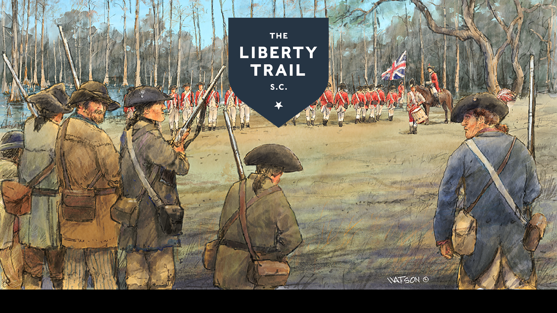
illustration of a revolutionary war battle with the Liberty Trail logo atop
About

The Liberty Trail South Carolina App

America’s independence was secured in the Carolinas across its swamps, fields, woods and mountains. These events of 1779-1782 directly led to victory in the Revolutionary War. We call this history The Liberty Trail South Carolina. 

The Liberty Trail South Carolina app—made in a partnership between the American Battlefield Trust and the South Carolina Battleground Trust—connects battlefields across South Carolina and tells the captivating and inspiring stories of this transformative chapter of American history.

Liberty Trail South Carolina Ad Hero Image

Each stop along the driving tour features unique on-site interpretation that connects visitors to the extraordinary events that came to pass nearly 250 years ago. The Liberty Trail South Carolina honors the patriots that decided the Revolution’s outcomes in the Carolinas.

Download The Liberty Trail New South Carolina for free today!

Exploring History

We invite you to visit the preserved locations along the Liberty Trail and to immerse yourself in the extraordinary events that determined the fate of a nation.
Battlefield
Turbeville, SC

A surprise Patriot attack on Loyalist recruits is a blow to the British

Battlefield | Historic Site
Summerton, SC

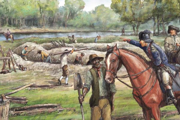
After an eight-day siege, this strategic outpost fell to the Americans, who used an ingenious structure called Maham’s Tower to fire down into the fort and trap the enemy.

Battlefield | Historic Site
Moncks Corner, SC

Former Plantation of Henry Laurens: Merchant, Slave Trader, South Carolina Statesman, and Father of Revolutionary War Soldier John Laurens.

Battlefield | Historic Site
Moncks Corner, SC

Fort Fair Lawn was a British outpost in 1780–1781 and was the target of a daring Patriot raid on November 17, 1781, and abandoned by the British a week later.

Battlefield | Historic Site
Moncks Corner, SC

Eighteenth-century Moncks Corner was a crossroads settlement of stores and taverns at the intersection of the Cherokee Path (the Indian traders’ path) and the road from Charleston to Santee. A powder magazine was established in 1760 and the village was occupied as a store depot by the British during the Revolutionary War.

National Park | Historic Site
Huger, SC

The Francis Marion is a forest literally steeped in history. Marion, dubbed the “Swamp Fox” by the British troops whose supply lines he disrupted with surprise attacks from the swamps.

Battlefield
Johnsonville, SC

Known as an extremely important ferry crossing in the Colonial Period, Marion fortified this ferry and frequently utilized it to quickly move his troops to lay ambushes

Battlefield | Historic Site
Charleston, SC

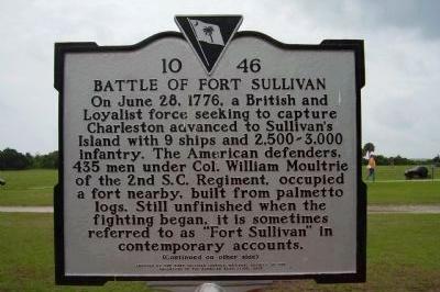
As part of their Southern Campaign, the British set their sights on taking the vital port of Charleston.

Historic Site | Historic House
Clemson, SC

Built in 1716 for Paul de St. Julien in Berkeley County. The house was later dismantled and moved to Clemson University and functions as a house museum.

State/County Park
Santee, SC

Santee State Park offers biking and hiking trails and pontoon boat tours of the flooded cypress forest on Lake Marion, named after Revolutionary War hero Francis Marion, the “Swamp Fox”.

Battlefield | Fort/Outpost
Gaffney, SC

A station constructed during high tensions with the Cherokee, this fortification was utilized by Loyalists until July of 1780.

Battlefield | State/County Park
Clinton, SC

The site of the 1780 battle of Musgrove’s Mill where a small force of Patriot militia fought and defeated a larger force of Loyalist and Provincial soldiers in a short but pivotal battle.