-
The BlogBiographies
-
Videos
From his office computer in Charleston South Carolina, archaeologist Mike Yianopoulos looks more like a computer researcher or maybe even gamer, than a seasoned field archaeologist and historian. Thanks to LiDAR (Light Detection and Ranging), a modern-ish technology, Yianopoulos is able to look more closely at the surface for clues to past land uses.
LiDAR dates to the 1960s and continues to see expanding uses. By sending rapid pulses of light from a rapidly firing laser to the surface of the earth, data is collected for a variety of uses. Specifically, archaeologists use LiDAR to study the topography of a site.
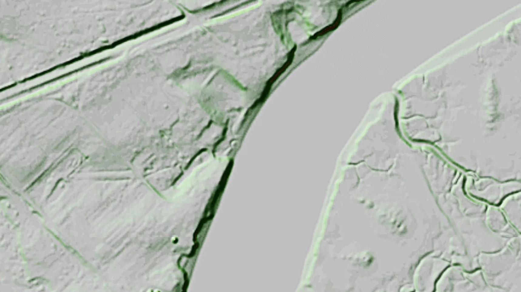
“LiDAR is a great tool for looking at detailed topography," commented Yianopoulos. “It strips away vegetation and gives a good image of old roads, earthworks, creeks, valleys.”
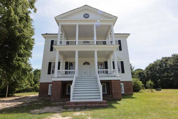
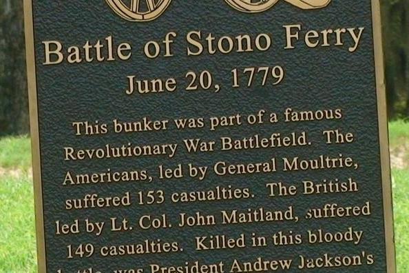
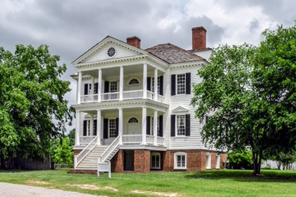
Today he is looking at the site of the Battle of Stono Ferry, an area that saw not only Revolutionary War action but also includes a Confederate earthwork battery and encampment. The team first used historic documents such as maps, battle summaries and journals as well as local experts and residents to narrow a broad landscape to a targeted area for further investigation. In the case of the Stono Ferry site, Yianopoulos points to a darker green line through a sea of pale green. The contrast indicates a causeway that was an active travel route during the Revolutionary War and Civil War, one that he had seen in old maps. Today, that causeway is not visible through the marsh. The LiDAR also reveals the footprint of an extant Confederate battery that is documented in historic maps, records, and paintings.
“In a rapidly growing region, time is of the essence. The research we conduct through reviewing historical documents and modern technology enables us to narrow the areas that we ground truth, saves precious time and helps us protect battle sites before they are inadvertently lost to other uses. Additionally, we use what we’ve learned to share battle stories with visitors to the site,” he notes.
Since acquiring 5 parcels in the footprint of the battle of Stono Ferry, SCBPT has been working with American Battlefield Trust to design and develop trails and interpretive signage for Stono Ferry. The site will join other properties statewide, on The Liberty Trail.
Stay tuned to our Facebook and Instagram pages to be the first to know when the site is officially opened.
First published on the South Carolina Battleground Preservation Trust website: https://www.scbattlegroundtrust.org/battlefield-research-thats-down-to-earth
--Jen Howard, Steward Terra Communications
We invite you to visit the preserved locations along the Liberty Trail and to immerse
yourself in the extraordinary events that determined the fate of a nation.