-
The BlogBiographies
-
Videos

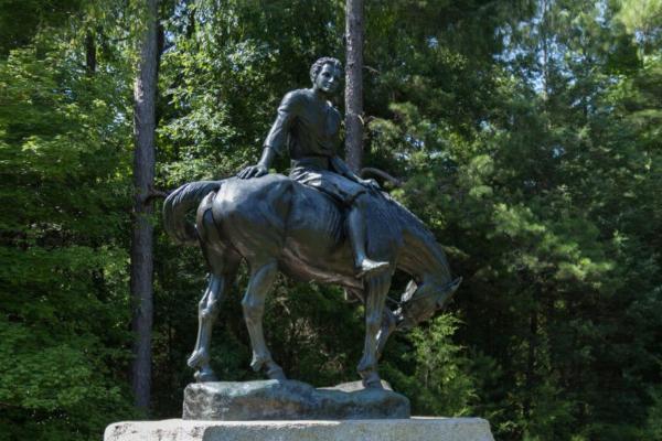
196 Andrew Jackson Park Rd
Lancaster, SC 29720
Andrew Jackson State Park combines history, art and community activities into a setting that has made it one of the state’s most popular parks.
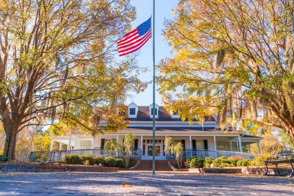
950 Stony Landing Rd.
Moncks Corner, SC 29461
The Berkeley County Museum is located in historic Moncks Corner, South Carolina and contains Revolutionary stories and artifacts from around the county.
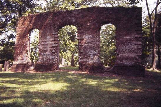
Moncks Corner, SC
During the British occupation of Charleston in 1781, these grounds were part of a British outpost to supply ammunition and provisions to patrolling British troops.
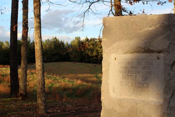
568 Monument Rd
Enoree, SC 29335
British Lieutenant Colonel Banastre Tarleton pushed up the Enoree River hot on the trail of Patriot Brigadier General Thomas Sumter.
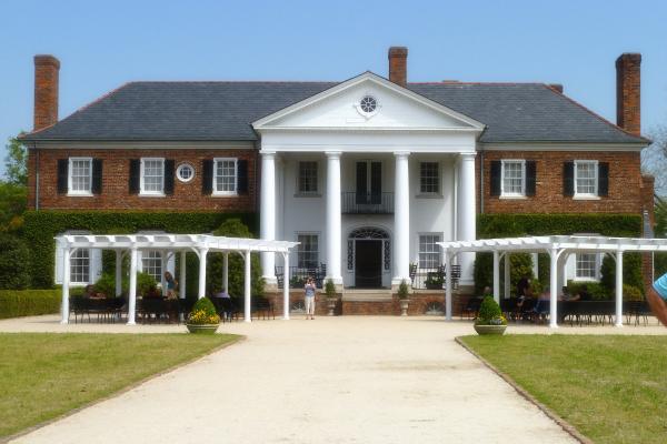
1235 Long Point Rd
Mt Pleasant, SC 29464
Boone Hall was influential in the history of South Carolina. Explore the house and grounds of this Colonial Plantation, as well as a live presentation of the Gullah Culture adapted by African slaves.
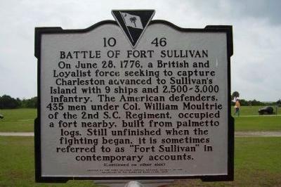
3217 Middle St
Sullivan's Island, SC 29482
Treacherous waters and Patriot fire foil a British attack on Charleston Harbor
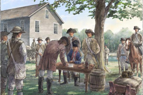
1917 N Old River Road
Pamplico, SC 29583
Located in the Pee Dee region of South Carolina, it was here that Francis Marion signed a treaty with a local Loyalist militia leader, effectively ending hostilities in the area
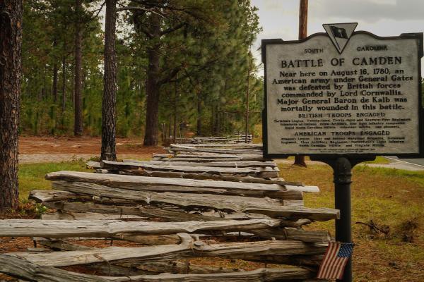
1698 Flat Rock Rd
Camden, SC 29020
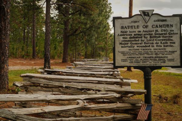
The Battle of Camden was a devastating defeat suffered by the Americans in the British military offensive in the South.
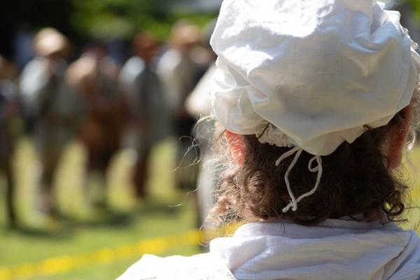
140 Cedar Springs Place
Spartanburg, SC 29302
When Jane Black Thomas overheard Loyalists plotting a surprise attack on her son's militia camp, she rode nearly 60 miles through dangerous territory to warn him. Her daring ride gave Colonel John Thomas Jr. and his Spartan Regiment time to prepare an ambush that repelled the attackers — fueling Patriot momentum toward the war-changing Battle of King's Mountain just three months later.
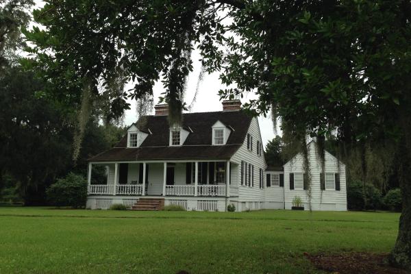
1254 Long Point Road
Mount Pleasant, SC 29464
This park preserves the story of Charles Pinckney and his contributions to the U.S. Constitution, and of 18th century plantation life for free and enslaved people of Snee Farm inhabitants.
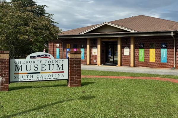
301 College Drive
Gaffney, SC 29340
With a rotating collection of artifacts and interactive exhibits, the Cherokee County Museum has something for all ages and interests.
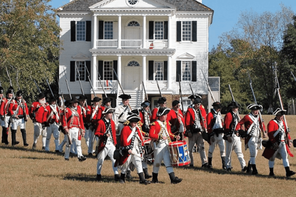
212 Broad Street
Camden, SC 29020
A former British headquarters, explore the reconstructed Kershaw/Cornwallis House, British redoubts, and programs about colonial life.
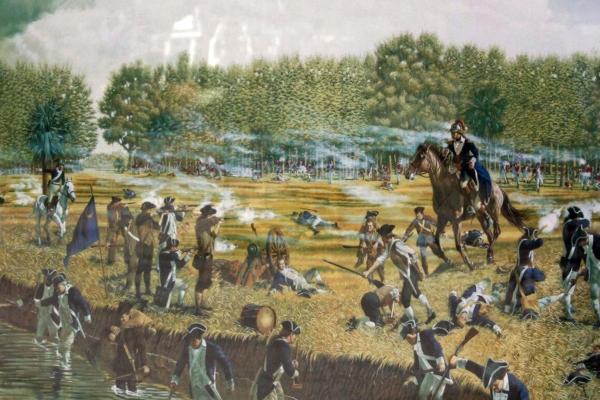
6904 West Frontage Road
Coosawhatchie, SC 29912
In May 1779, British troops under Augustine Prevost advanced toward Charleston, prompting William Moultrie to withdraw as John Laurens rashly engaged at the Coosawhatchie River and was driven back with heavy losses.
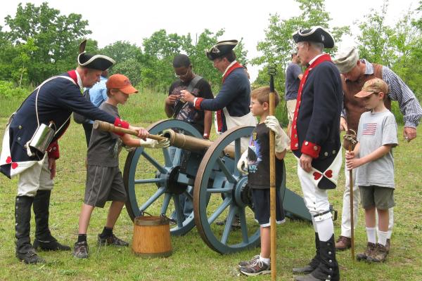
4001 Chesnee Hwy
Gaffney, SC 29341
The Cowpens Battlefield commemorates Daniel Morgan’s victory over Banastre Tarleton on January 17, 1781.
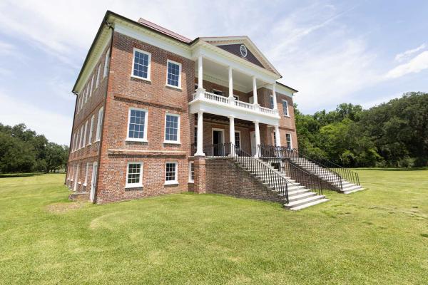
3380 Ashley River Rd.
Charleston, SC 29414
Visit Historic Drayton Hall — Tour the nation’s oldest preserved plantation house in America still open to the public. Explore Drayton Hall's 18th-century architecture, landscapes & the people who lived here.
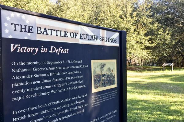
12933 Old Number Six Hwy
Eutawville, SC 29048
This last major battle of the war in the South succeeded in driving the British out of rural South Carolina.
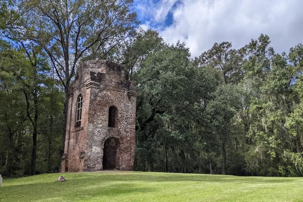
300 State Park Rd
Summerville, SC 29485
An oyster-shell, “tabby,” fortress, originally constructed here during the French and Indian War, was restored, and occupied by both the British and Patriots.
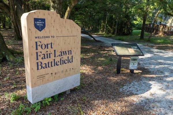
950 Stoney Landing Rd
Moncks Corner, SC 29461
Fort Fair Lawn was a British outpost in 1780–1781 and was the target of a daring Patriot raid on November 17, 1781, and abandoned by the British a week later.
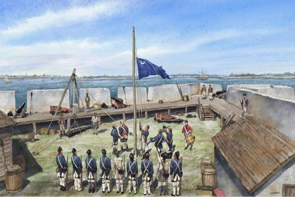
Fort Johnson Rd
Charleston, SC 29412
One of the many forts that dotted the landscape around Charleston, Patriots seized this fortification and raised the Moultrie flag, which bears resemblance to the modern standard of South Carolina.
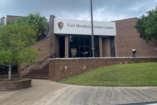
Fort Sumter National Monument
Sullivan's Island, SC 29482
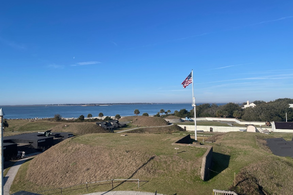
The Battle of Sullivan’s Island, fought near the site of today’s Fort Moultrie in June 1776, was the first significant Patriot victory of the Revolutionary War.
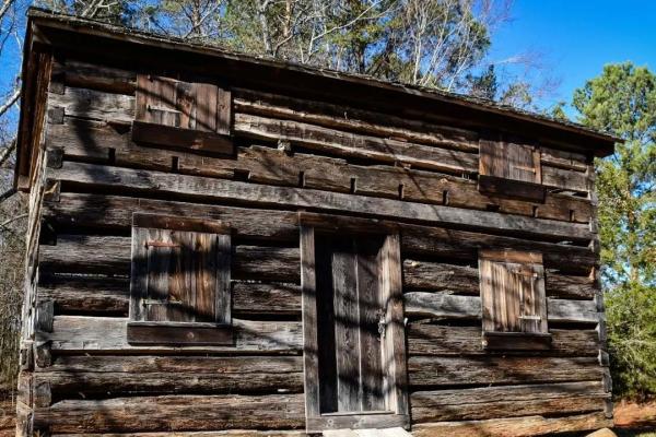
184 State Road S-11-584
Gaffney, SC 29340
A station constructed during high tensions with the Cherokee, this fortification was utilized by Loyalists until July of 1780.
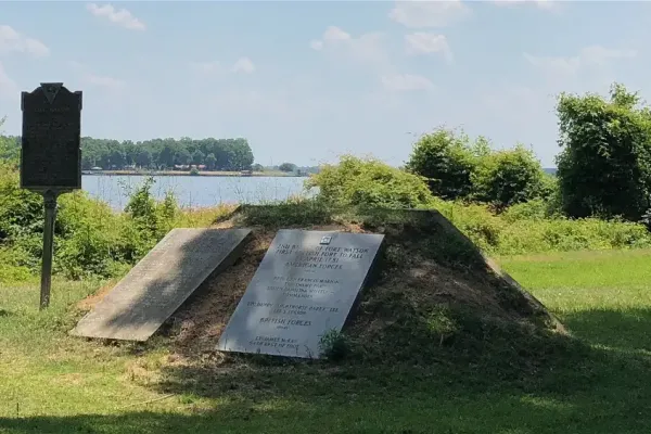
1142 Fort Watson Rd
Summerton, SC 29148
After an eight-day siege, this strategic outpost fell to the Americans, who used an ingenious structure called Maham’s Tower to fire down into the fort and trap the enemy.
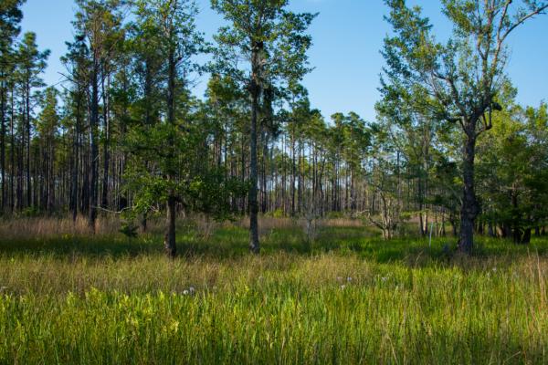
2967 Steed Creek Rd.
Huger, SC 29450
The Francis Marion is a forest literally steeped in history. Marion, dubbed the “Swamp Fox” by the British troops whose supply lines he disrupted with surprise attacks from the swamps.
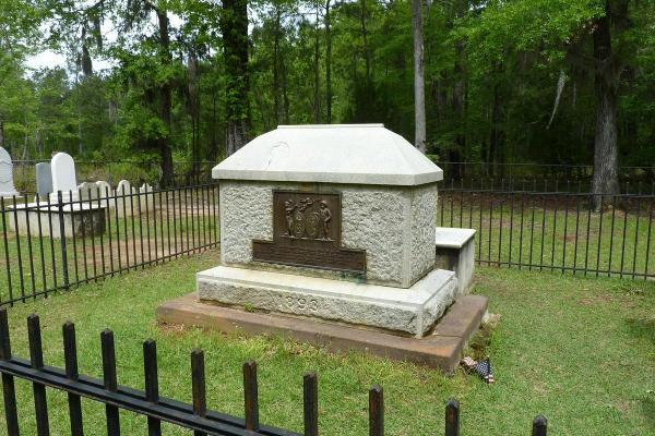
1 General Francis Marion Avenue
Pineville, SC 29468
Francis Marion was a skilled military leader during the American Revolutionary War, known for his guerilla tactics and strategic maneuvers in the Southern Campaign. His contributions to the war effort and his enduring legacy as a symbol of American resilience and military ingenuity remain today.
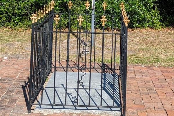
1214 Middle St.
Sullivan's Island, SC 29482
William Moultrie died in 1805 and was buried in the family cemetery. In 1977, his remains were moved to Sullivan's Island within Fort Moultrie.
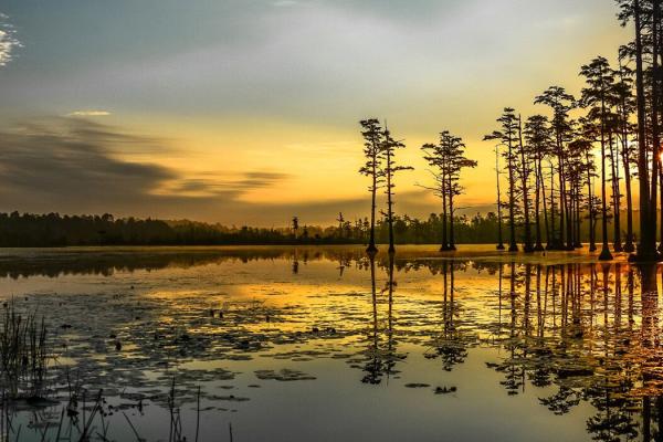
650 State Rd S-28-331
Camden, SC 29020
Not far from Camden Battlefield, Goodale State Park is lined with cypress trees, a spring-fed lake that offers boating, fishing, and hiking opportunities.
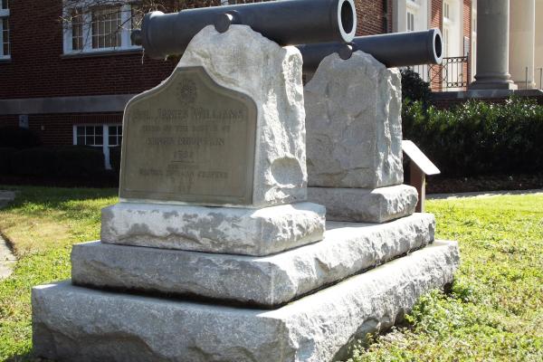
210 North Limestone Street
Gaffney, SC 29340
James Henderson Williams, a South Carolina militia colonel and Patriot leader, was killed at the Battle of Kings Mountain in 1780 and is commemorated here, where his remains were later reinterred and a memorial erected in his honor.
Pine Island Entrance Rd.
Summerton, SC 29148
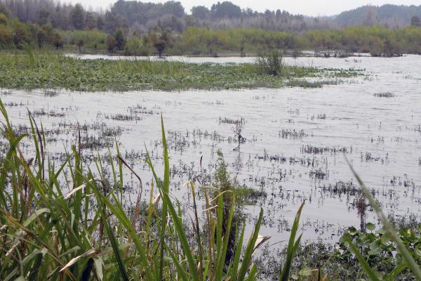
Located within the Santee Wildlife Refuge, this was the last major battle of the war in South Carolina.
Old River Rd
Pinewood, SC 29125
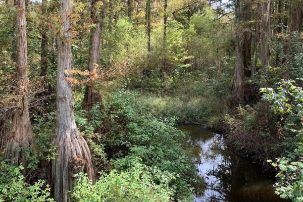
McLeroth and his 64th Regiment were escorting 200 recruits from Charleston to Camden when Marion, with about 700 men, surprised them at Halfway Swamp.
1950 Rutledge Rd.
McClellanville, SC 29458
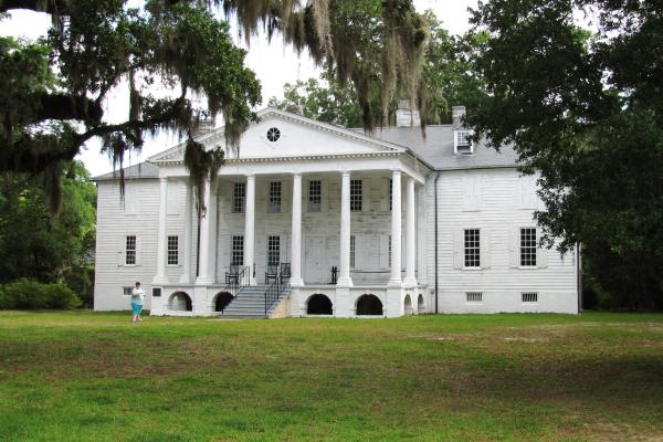
This 18th-century plantation home, on the grounds of the Hampton Plantation State Historic Site, served as a place of refuge for Francis Marion who hid here from when British troops.
Heath Springs, SC 29058
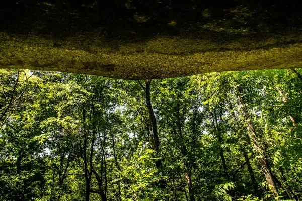
This battleground was the site of three British camps, attacked by Patriot troops on August 6, 1780. It was a fight primarily between countrymen.
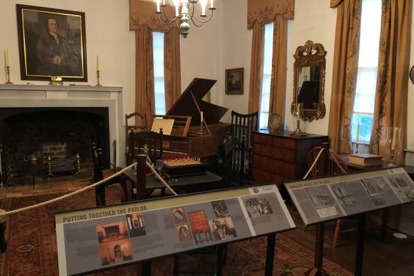
113 Hanover Cir
Clemson, SC 29634
Built in 1716 for Paul de St. Julien in Berkeley County. The house was later dismantled and moved to Clemson University and functions as a house museum.
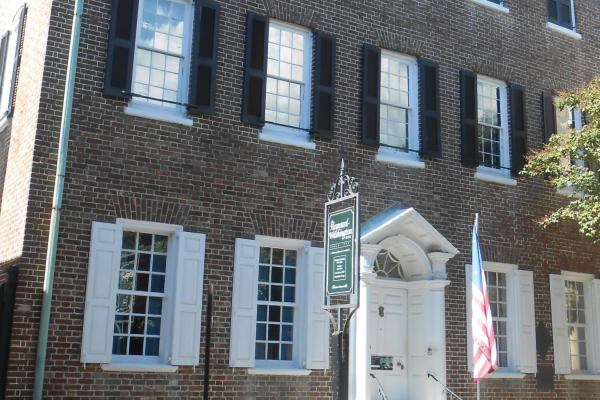
87 Church St.
Charleston, SC 29403
This historic house museum was the home of Thomas Heyward, Jr., one of four South Carolina signers of the Declaration of Independence.
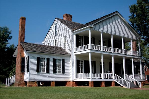
1444 Brattonsville Rd.
McConnells, SC 29726
Discover the history of the Scots-Irish and African-Americans through preserved buildings and living history experiences of the Brattonsville community.
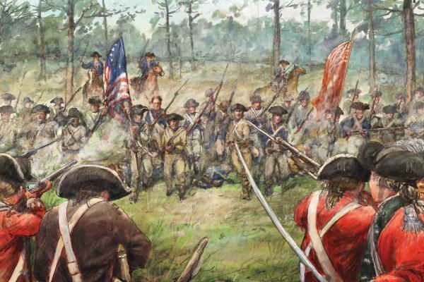
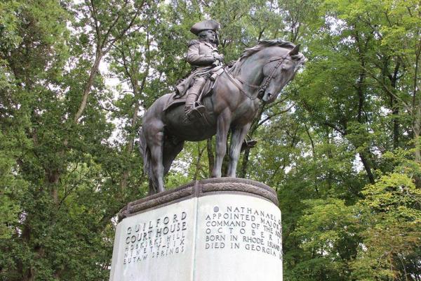
620 Greene Street
Camden, SC 29020
Patriot Leader Nathanael Greene Is repulsed but not defeated in his campaign to chase the British from the South Carolina backcountry
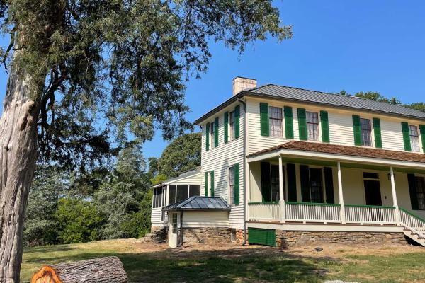
101 Hopewell Road
Clemson, SC 29631
Located near the famous Treaty of Hopewell site, the Hopewell Plantation house was the Pickens' family home and later served as the South Carolina Governor's Mansion.
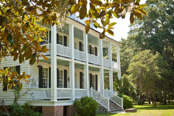
494 Hopsewee Rd.
Georgetown, SC 29440
Built circa 1740, Hopsewee Plantation was one of the South’s major rice plantations and the birthplace of Thomas Lynch, Jr., one of the signers of the Declaration of Independence.
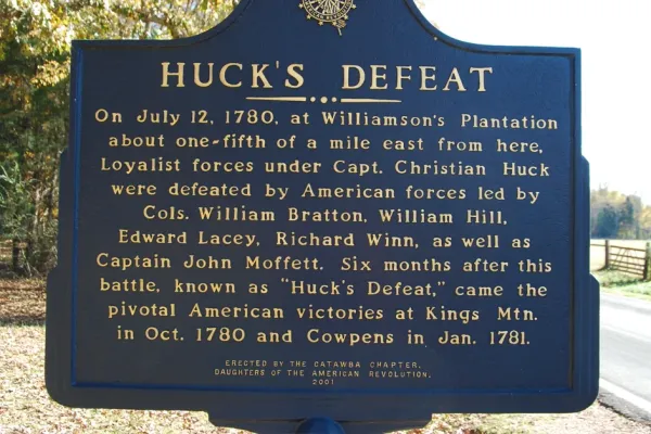
1444 Brattonsville Rd
McConnells, SC 29726
Huck’s Defeat occurred on July 12, 1780. The battleground is on the site of Historic Brattonsville, a former colonial plantation.
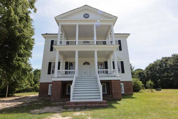
212 Broad Street
Camden, SC 29020
After the Siege of Charleston in 1780, the British established a headquarters at the Kershaw/Cornwallis House. Today the house and grounds are open to tours.
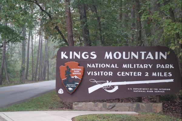
2625 Park Road
Blacksburg, SC 29702
On August 16, 1780, the unexpected Patriot success at Kings Mountain infused those favoring rebellion with new confidence.
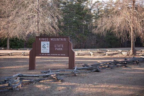
1277 Park Rd.
Blacksburg, SC 29702
The Piedmont’s Kings Mountain State Park has miles of forested trails perfect for supreme Kings Mountain hiking, two fishing lakes, and sits adjacent to Kings Mountain National Military Park, one of many national park Revolutionary War sites.
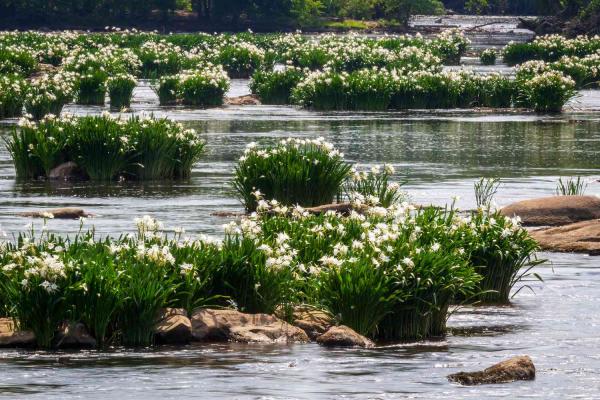
2051 Park Dr
Catawba, SC 29704
This park features the Lands Ford crossing, used during the Revolutionary War by both British and American troops under Cornwallis and Sumter before and after pivotal battles.
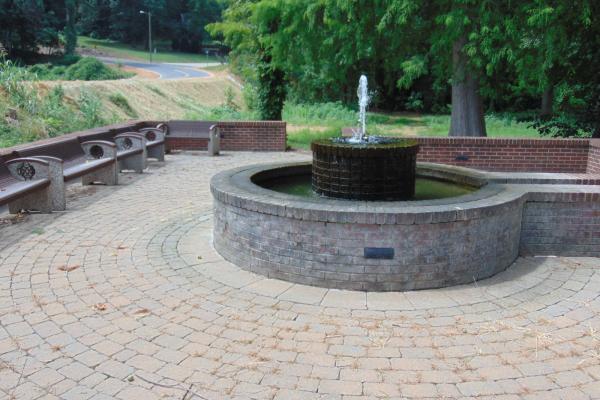
Gaffney, SC 29340
Three unknown British soldiers wounded at the nearby Battle of Cowpens died here at Limestone Springs and were buried on the land by order of Patriot Captain Vardry McBee Sr. and his wife, Hannah Echols.
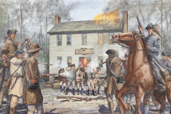
Highway 378
Gresham, SC 29546
Loyalists ambush a contingent of Patriot militia at a tavern in December of 1780, leading to a massacre

3550 Ashley River Road
Charleston, SC 29414
The plantation & gardens bears witness to 350 years of American history. Learn about the Europeans who colonized South Carolina, and the enslaved people who worked in the rice fields and gardens.
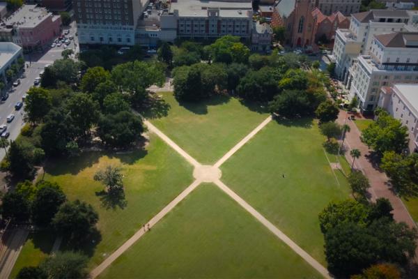
329 Meeting Street
Charleston, SC 29403
Marion Square, named in honor of Francis Marion, is greenspace in downtown Charleston, South Carolina and features remnants of The Hornwork, a large fortification built in 1758 that played a major role in the fight for independence.
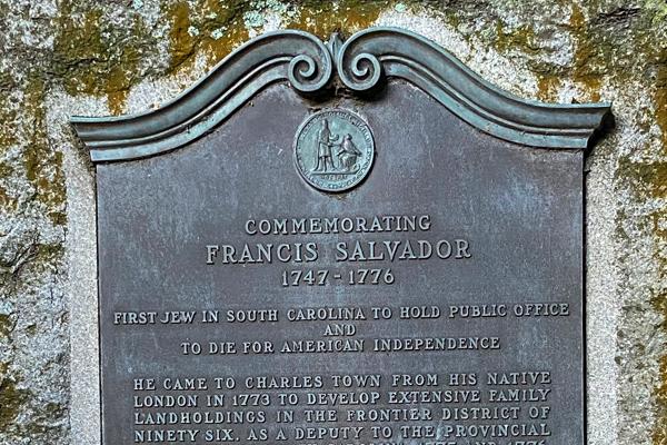
189 Coming St
Charleston, SC 29403
Francis Salvador, the first Jewish person to die in the Revolutionary War, was a London-born pioneer who moved to South Carolina in 1773. A vocal supporter of independence, he became the first Jewish person to hold political office in the state. Known as the "Southern Paul Revere," Salvador warned of attacks during the war but tragically died in an ambush in 1776 at just 29 years old, leaving behind a legacy of courage and commitment to freedom.
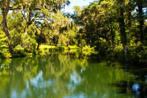
1098 Mepkin Abbey Rd
Moncks Corner, SC 29461
Former Plantation of Henry Laurens: Merchant, Slave Trader, South Carolina Statesman, and Father of Revolutionary War Soldier John Laurens.
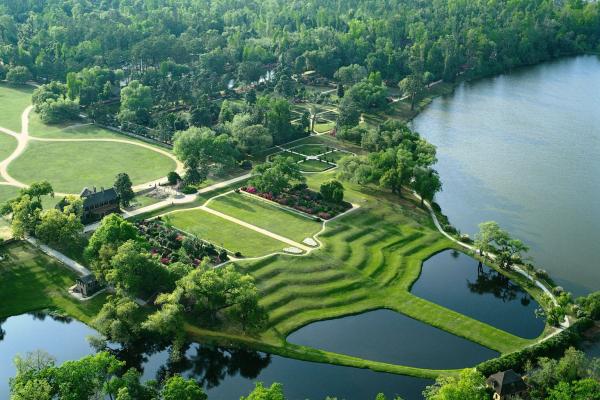
4300 Ashley River Rd
Charlestown, SC 29414
Middleton Place is America’s Oldest Landscaped Gardens and home to a signer of the Declaration of Independence.
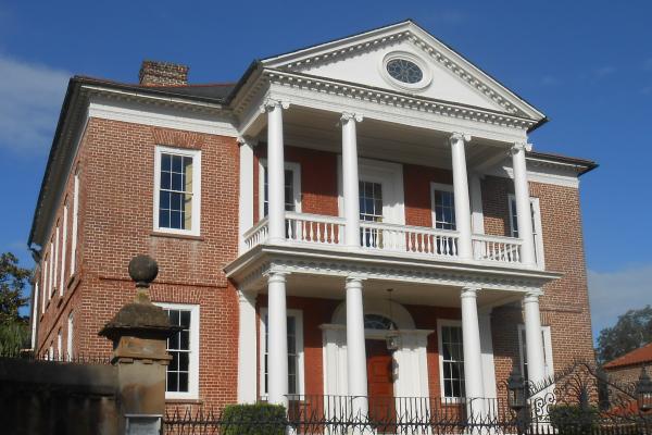
27 King St.
Charleston, SC 29401
In 1780, after the British occupied Charleston during the American Revolutionary War, the Brewton house was used as the British headquarters for Henry Clinton.

Moncks Corner, SC 29461
Eighteenth-century Moncks Corner was a crossroads settlement of stores and taverns at the intersection of the Cherokee Path (the Indian traders’ path) and the road from Charleston to Santee. A powder magazine was established in 1760 and the village was occupied as a store depot by the British during the Revolutionary War.
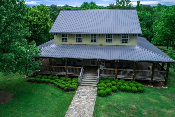
398 State Park Rd
Clinton, SC 29325
The site of the 1780 battle of Musgrove’s Mill where a small force of Patriot militia fought and defeated a larger force of Loyalist and Provincial soldiers in a short but pivotal battle.
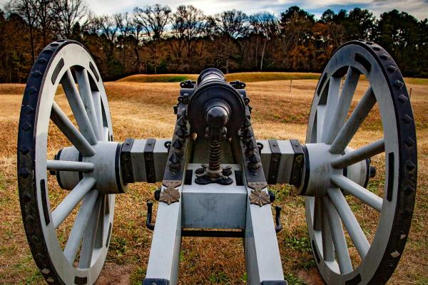
1103 Highway 248 S
Ninety Six, SC 29666
The site of the 1775 Battle of Williamson's Fort and a critical outpost for the British after they captured Charleston in 1780, the colonial town of Ninety Six was also the setting of a 28-day siege in 1781. Here, Nathanael Greene’s Patriots attacked the heart of Loyalist commander John Cruger’s defenses — the Star Fort.
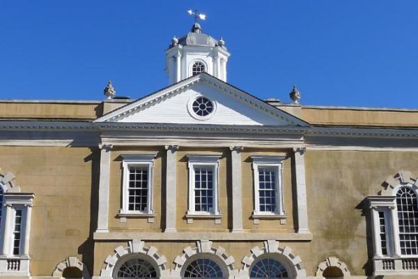
122 East Bay Street
Charleston, SC 29401
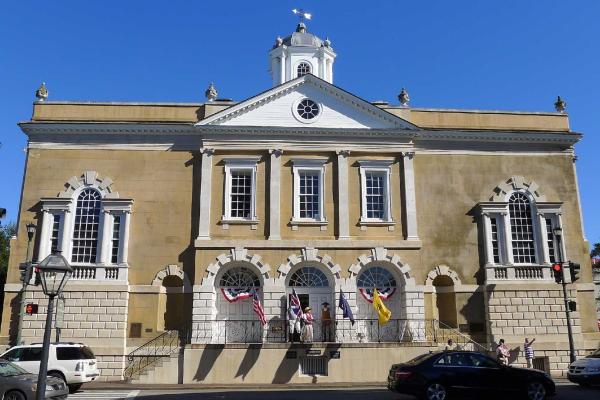
Completed in 1771, the Old Exchange Building is a Charleston landmark and the site of some of the most important events in South Carolina history. Over the last two and a half centuries, the building has been a commercial exchange, custom house, post office, city hall, military headquarters, and museum.

900 Stony Landing Rd.
Moncks Corner, SC 29461
Old Santee Canal Park hosts the Berkeley County Museum and Fort Fair Lawn, where in 1780, the British attacked the Patriot army stationed at Monck’s Corner.
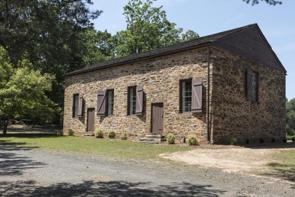
101 Stone Circle
Clemson, SC 29631
Nestled outside the traditional bounds of the South Carolina colony is the Presbyterian church where Andrew Pickens committed his time as an elder following the Revolution. In the adjacent cemetery lie the graves of several American soldiers who had fought by Pickens' side during the war.
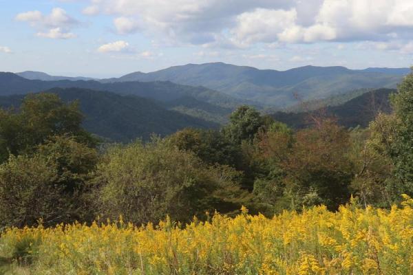
4001 Chesnee Hwy
Gaffney, SC 29341
The 330-mile Overmountain Victory National Historic Trail traces the 1780 Kings Mountain campaign through Virginia, Tennessee, and the Carolinas via a marked motor route and 87 miles of walkable trails.
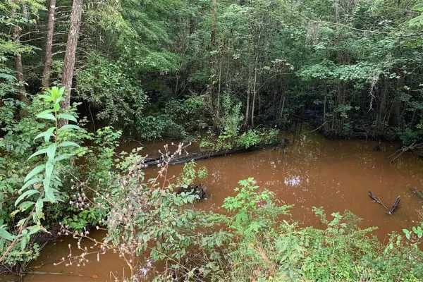
Clarendon County, SC 29102
Patriot Francis Marion earns his famous nickname — "The Swamp Fox”— after a futile chase by British Commander Banastre Tarleton
E Trinity Rd &, Kingsburg Hwy, SC
Johnsonville, SC 29555
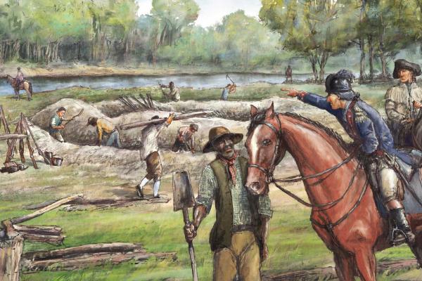
Known as an extremely important ferry crossing in the Colonial Period, Marion fortified this ferry and frequently utilized it to quickly move his troops to lay ambushes

2500 Flat Rock Road
Camden, SC 29020
An ingenious Patriot deception provokes a prominent Loyalist to surrender his outpost
251 State Park Rd.
Santee, SC 29142
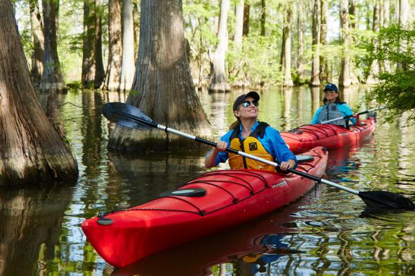
Santee State Park offers biking and hiking trails and pontoon boat tours of the flooded cypress forest on Lake Marion, named after Revolutionary War hero Francis Marion, the “Swamp Fox”.
329 Meeting Street
Charleston, SC 29403
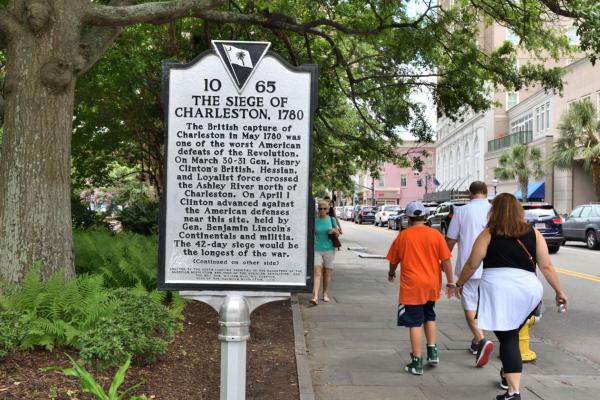
As part of their Southern Campaign, the British set their sights on taking the vital port of Charleston.
Dunham Bluff Road
Gresham, SC 29546
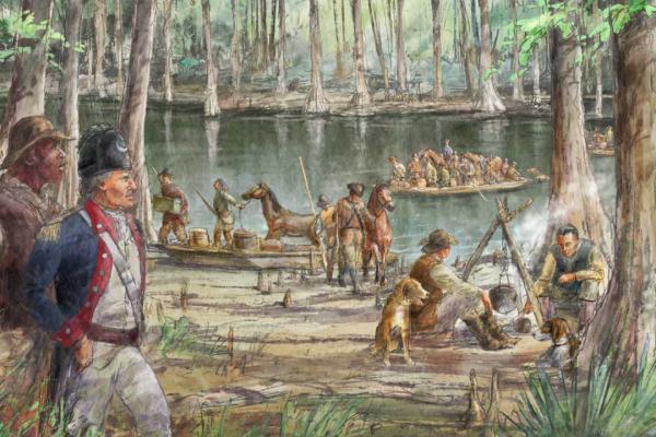
Located along the Great Pee Dee River, Snow's Island served as Francis Marion's favorite refuge for his militia in the swamps of South Carolina
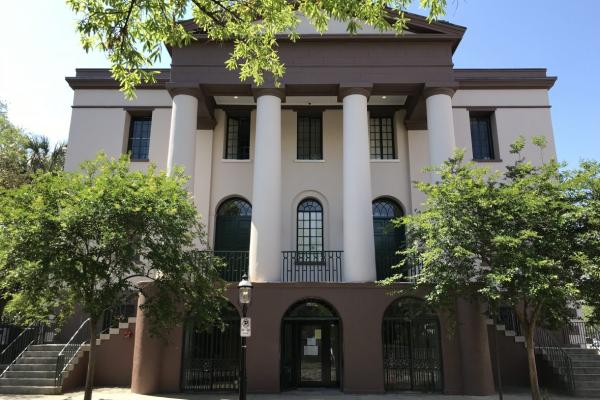
South Carolina Historical Society Museum
100 Meeting St.
Charleston, SC 29401
An architectural treasure in its own right, the South Carolina Historical Society Museum is housed in a National Historic Landmark building and features interactive exhibits on the people, places, and movements that shaped the state and nation.
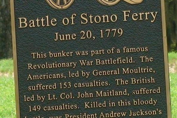
4812 Stono Links Dr
Hollywood, SC 29449
The Patriots launch a misguided attack on British troops retreating from an aborted raid on Charleston
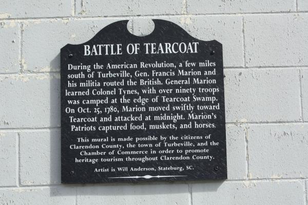
Turbeville, SC 29162
A surprise Patriot attack on Loyalist recruits is a blow to the British
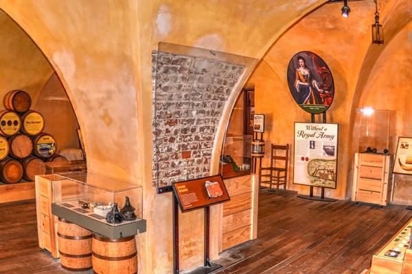
79 Cumberland Street
Charleston, SC 29401
Completed in 1713, The Powder Magazine is South Carolina's oldest government building.
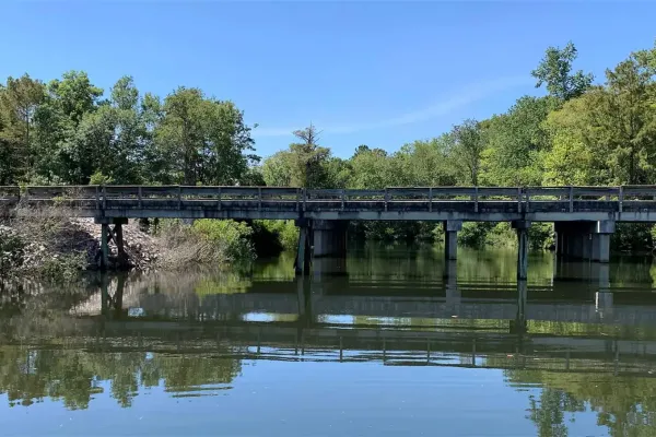
1432 SC-402
Moncks Corner, SC 29461
The Patriots Take Provisions and Prisoners in a Surprise Attack on a British Supply Depot.
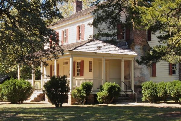
1200 Otts Shoals Rd.
Roebuck, SC 29376
Established in 1767 by the Patriot supporting Moore family. Local militia gathered at Walnut Grove prior to the Battle of Cowpens. Visitors may take guided tours of the house and grounds.
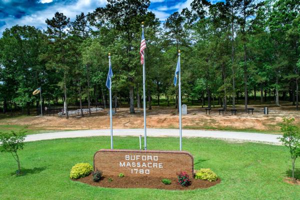
262 Rocky River Rd
Lancaster, SC 29720
On May 29, 1780, British commander Banastre Tarleton engaged and overwhelmed a Patriot force under the command of Abraham Buford in a dreadful defeat for the Patriots.
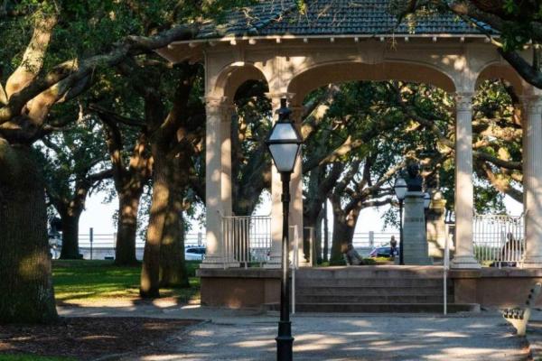
2 Murray Blvd.
Charleston, SC 29401
The White Point Garden offers incredible views that span across the Ashley and Cooper Rivers. Fort Sumter, Castle Pinckney, and the Sullivan Island Lighthouse can all be spotted in the distance. The Defenders of Fort Moultrie, a monument honoring South Carolinian soldiers during the Battle of Sullivan's Island is centrally located.
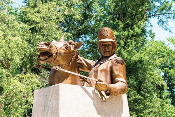
Odell Venters Landing
Johnsonville, SC 29555
Once a simple ferry site, it gained prominence after Francis Marion, the "Swamp Fox," mustered the Williamsburg militia into his ranks in August of 1780
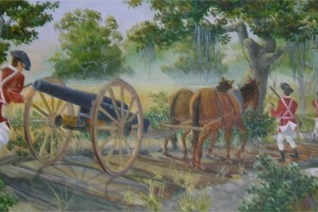
22 State Rd S-14-141
Manning, SC 29102
Now under the man-made Lake Marion, British Lieutenant Colonel John Watson and Patriot Brigadier General Francis Marion, the “Swamp Fox,” skirmished in Wyboo Swamp near Santee Road.
Fort Fair Lawn was a British outpost in 1780–1781 and was the target of a daring Patriot raid on November 17, 1781, and abandoned by the British a week later.
Andrew Jackson State Park combines history, art and community activities into a setting that has made it one of the state’s most popular parks.
Known as an extremely important ferry crossing in the Colonial Period, Marion fortified this ferry and frequently utilized it to quickly move his troops to lay ambushes
Now under the man-made Lake Marion, British Lieutenant Colonel John Watson and Patriot Brigadier General Francis Marion, the “Swamp Fox,” skirmished in Wyboo Swamp near Santee Road.
One of the many forts that dotted the landscape around Charleston, Patriots seized this fortification and raised the Moultrie flag, which bears resemblance to the modern standard of South Carolina.
Located along the Great Pee Dee River, Snow's Island served as Francis Marion's favorite refuge for his militia in the swamps of South Carolina
During the British occupation of Charleston in 1781, these grounds were part of a British outpost to supply ammunition and provisions to patrolling British troops.
On May 29, 1780, British commander Banastre Tarleton engaged and overwhelmed a Patriot force under the command of Abraham Buford in a dreadful defeat for the Patriots.
In May 1779, British troops under Augustine Prevost advanced toward Charleston, prompting William Moultrie to withdraw as John Laurens rashly engaged at the Coosawhatchie River and was driven back with heavy losses.
The site of the 1780 battle of Musgrove’s Mill where a small force of Patriot militia fought and defeated a larger force of Loyalist and Provincial soldiers in a short but pivotal battle.
Francis Salvador, the first Jewish person to die in the Revolutionary War, was a London-born pioneer who moved to South Carolina in 1773. A vocal supporter of independence, he became the first Jewish person to hold political office in the state. Known as the "Southern Paul Revere," Salvador warned of attacks during the war but tragically died in an ambush in 1776 at just 29 years old, leaving behind a legacy of courage and commitment to freedom.
Three unknown British soldiers wounded at the nearby Battle of Cowpens died here at Limestone Springs and were buried on the land by order of Patriot Captain Vardry McBee Sr. and his wife, Hannah Echols.