
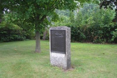
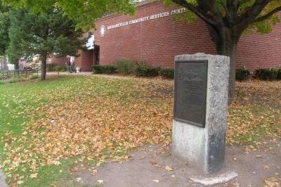
The Henry Knox Trail, also known as the Knox Cannon Trail, is a network of roads and paths that traces the route of Colonel Henry Knox's "noble train of artillery" from Crown Point, New York, to the Continental Army camp outside Boston, Massachusetts, in the American Revolutionary War.
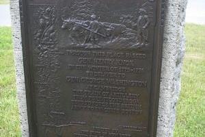
George Washington commanded Henry Knox in 1775 to transport 59 cannons (weighing over 60 tons) from captured forts on Lake Champlain, 30 from Fort Ticonderoga, and 29 from Crown Point to the army camp outside Boston to aid the war effort against British forces. They included forty-three heavy brass and iron cannons, six coehorns, eight mortars, and two howitzers.
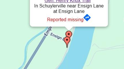
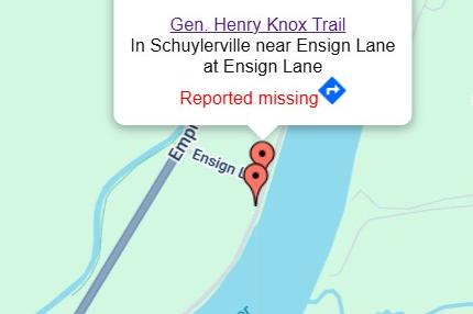
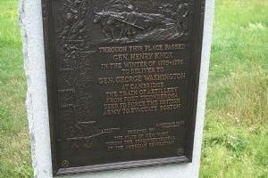
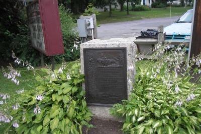
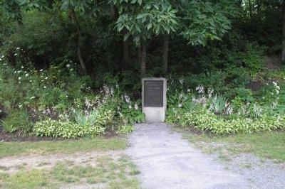
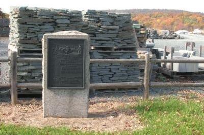
The marker is reported missing, but was similar to the others posted along the route. It was located on the river road south of Schuylerville at the Ensign House along the west side of State Route 32. The top of the marker contained a relief scene of Gen. Knox overseeing several teams of oxen dragging the artillery pieces. This site marks a house where Knox stayed on the night of December 24th.
Learn about Revolutionary War Combat Strategy. Watch the Revolutionary War Animated Map.
What's Nearby
Explore more of The Liberty Trail by visiting these nearby attractions.
Schuylerville, NY 12871
Bemis Heights, NY 12170
Stillwater, NY 12170
Schuyerville, NY 12871
Schuylerville, NY 12871
Mechanicville, NY 12118
Fort Edward, NY 12828

Waterford, NY 12188
Waterford, NY 12188
Cohoes, NY 12047
Fort Edward, NY 12828