-
The BlogBiographies
-
Videos

The Battle of Newtown occurred on August 29, 1779, and was the only major battle of the Sullivan Expedition (sometimes referred to as the Sullivan-Clinton Expedition), a military campaign against the Iroquois Nation in western New York. The goal for the American army was to destroy as many Iroquois villages and burn as many of their fields and crops and force them from the area. This expedition occurred not long after many Americans had been massacred by British backed Iroquois warriors at Wyoming Valley and Cherry Valley in 1778. Although some Iroquois Indians were either neutral or somewhat supportive of the Americans, the effects of the expedition would be felt by all the Iroquois. The expedition was an early example of the use of total war by the American military. Tour this battlefield by foot and car in 11 stops.
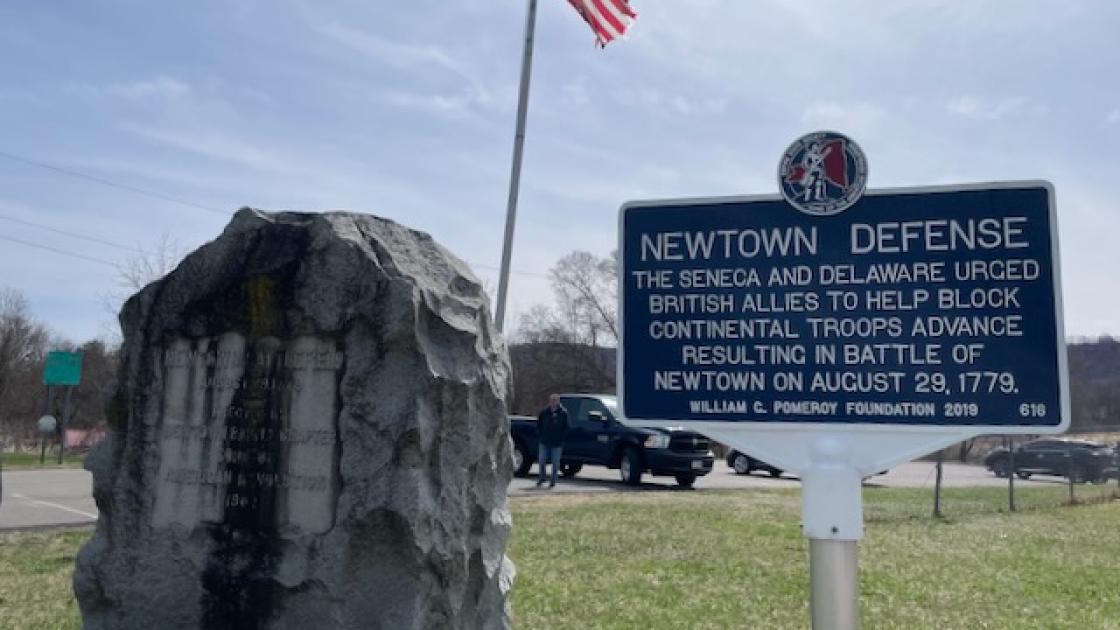
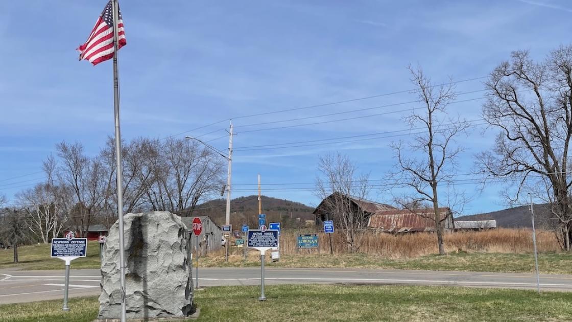
Imagine this landscape free of paved roads, street signs, and the sound of passing vehicles and picture how the Revolutionary War Battle of Newtown unfolded here on August 29, 1779. When you face County Route 60 and take in the fields and hills around you, you are gazing at the battleground where Loyalists and Patriots clashed that day.
The Battle of Newtown was the only major engagement of the Sullivan Expedition, a military campaign ordered by Continental Army Commander-in-Chief George Washington that demanded “the total destruction and devastation of [Iroquois] settlements.” Washington wanted to punish the Iroquois for their support of Loyalists, American colonists allied with the British, and for their participation in violent raids against white settlers in New York State. Heading the mission was Major General John Sullivan.
The Iroquois targeted by the expedition were members of a strong confederacy of six nations—Seneca, Cayuga, Onondaga, Mohawk, Oneida, and Tuscarora. “Iroquois” was a colonial name used by the French. The name the Native people call themselves is Haudenosaunee or “people of the longhouse.” Courted at the outset of the war by both the Patriots and the British, who wanted their support and access to their valuable lands, the Haudenosaunee found it difficult to stay neutral in the fight for American independence. Most of the Haudenosaunee nations sided with the British, believing the Crown would protect their territory. Only the Oneidas and Tuscaroras backed the Patriots.
The 3,200 Patriot troops with the Sullivan Expedition encountered resistance as they approached Newtown on August 29, 1779. Waiting for them were the men most responsible for the frontier raids— Loyalist Major John Butler, with 250 Rangers, and Mohawk leader Joseph Brant (also called Thayendanegea), with about 350 Seneca, Cayuga, and Delaware warriors. Fought over challenging terrain, the engagement was won by the Patriots. Though brief, it had lasting consequences. The power of the Haudenosaunee was drained and Sullivan’s destruction of Haudenosaunee villages forced Native people to flee their homes here along the Chemung River and move north toward the Great Lakes.
Walk toward the marker for the “Breastworks,” just past the parking lot, to continue the tour.
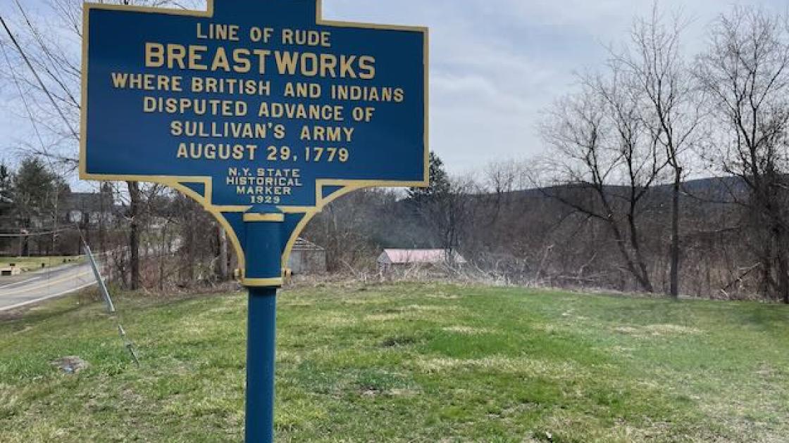
If you had been standing here on August 29, 1779, you would have been sheltering in the middle of a half mile-long Loyalist breastwork—or shoulder-high temporary fortification—anxiously anticipating the arrival of Patriot troops. The breastwork extended to the other side of the highway where a hogsback–a steep ridge you can still see today–provided a natural barrier.
Two days before, on August 27, Loyalist and Native scouts reported that Major General John Sullivan’s Patriot troops were heading this way with a force that greatly outnumbered their 600 men. Loyalist commander Major John Butler and Mohawk leader Joseph Brant tried to persuade their Indian allies to retreat from this ground, but the Senecas and Delawares were determined to take a stand so Butler hastily constructed a defensive breastwork. Butler later wrote, “on our left was a steep mountain, and a large Creek in our Front at a little Distance; we threw up some Logs one upon the other by way of a Breastwork, which we endeavoured to conceal with Bushes. . ..” The camouflaged horseshoe-shaped earthwork was about 150 feet up the southeast spur of the hill, within musket range of the road.
The breastworks provided the 350 Haudenosaunee and 250 Loyalist militiamen a view of the Chemung River Valley. There, they waited in the hopes of ambushing Sullivan’s troops as the Patriots’ route took them by the steep hill on August 29. But Sullivan’s experienced soldiers sensed a trap and soon discovered the hidden fortification. That afternoon, the Patriot officers developed a carefully timed battle plan to surprise the enemy on their flanks. The terrain was difficult. There were also structures on the hill. Called “Butler's Depot” in accounts of the battle, the buildings had the potential to block the Continental brigades' approach up the hill as well as conceal the British troops and Native warriors. Continental officers later claimed that the structures were used for storing the supplies seized in Butler and Brant’s raids on frontier settlements.
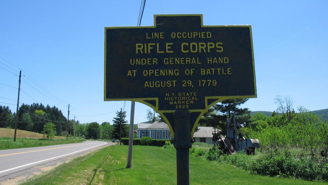
Look to your right up County Route 60. There is a church steeple in the distance. Just beyond that is a marker on the right indicating the location of Patriot Brigadier General Edward Hand’s Rifle Corps.
As Sullivan’s men marched toward Newtown, Hand’s brigade of light infantry led the vanguard in two columns. Among them were veteran frontiersmen who had served with noted Revolutionary War commander Daniel Morgan earlier in the war. These seasoned riflemen discovered the hidden Loyalist breastworks just before noon on August 29, 1779. According to Major John Burrowes of Spencer’s New Jersey Regiment, “the skirmishing riflemen were fired upon by Indians who immediately ran back, trying to draw the Americans which proved to be an ambush before their earthworks.” Lt. Beatty of the 4th Pennsylvania wrote that “the firing was kept up very briskly by the Rifle men & a company who was sent to reinforce them, likewise the Indians returned the fire very brisk with many shouts for about 2 hours while a disposition was made for to attack them.”
As the battle got started, Hand brought his infantry forward to Baldwin Creek, which ran parallel to the large hill. This steeped-bank waterway still flows here. You can see it by heading right on Route 60 and taking a left on County Route 2. It follows the left side of the road.
The Patriot riflemen who assembled on the banks of Baldwin Creek carried American-made long rifles, and their skill as sharpshooters was feared by opposing armies. When Dr. James Thacher, a Continental Army surgeon, observed these unconventional soldiers in Boston in 1775, he noted, “These men are remarkable for the accuracy of their aim; striking a mark with great certainty at two hundred yards distance.”
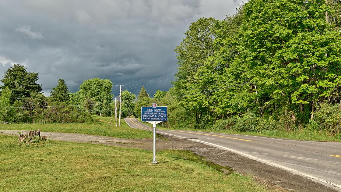
If you turn right onto County Route 60 and turn left onto County Route 2, you will see remnants of the thick swamp.
As you look at the landscape today, you can understand why the countryside near Newtown posed a challenge for Major General John Sullivan’s expeditionary army and impacted the commander’s carefully orchestrated battle plan. Before the base of the steep hill were impassable marshes and dense ground cover. Sullivan later referred to the wetland as a “morass.” The thick swamp slowed Clinton’s New York troops and Poor’s New Hampshire regiment, delaying their ascent.
Once the Patriots were free of the swamp, however, they found that the east side of Baldwin Creek gave their Continental line an advantage. As you walk by the creek today, you can see that the creek bank there is probably 20-30 feet higher than the west side. This high bank may have blocked the eastward view of the Loyalists and allowed the Patriots to come at them unnoticed from behind. Although the Patriots heading east were not in battle positions when the artillery’s cannonade began, due to their difficult trek, they managed to press on despite the summer heat, fatigue, thirst, and the weight of their heavy packs—some with 50 pounds of gear and ammunition—to reach the top of the hill. Moving stealthily, two at a time, they took cover behind the trees to gain an advantage over the enemy in the breastworks below. The soldiers grabbed saplings for support as they navigated the difficult incline. Some of those saplings may have survived, growing into the towering trees that dot the hill today—silent witnesses to the Battle of Newtown.
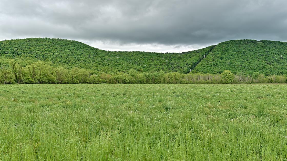
Clinton and Poor’s uphill struggle with nature soon erupted into a full-fledged firefight with the Haudenosaunee and Loyalists. Major General John Sullivan later wrote:
“[Brigadier] General Poor had already arrived at the foot of the hill, when the cannonading began in front of their works, but, upon attempting to ascend it, he found a large body of the enemy posted there, who began to fire upon him. His troops charged with bayonets, and sometimes fired as they advanced. The enemy retreated from tree to tree, keeping up an incessant fire, until his troops had gained the summit of the hill.”
With the Continentals threatening to encircle them, the Native Americans and Loyalists suddenly lost their resolve. Between the explosive shells from Patriot cannons and Poor’s fire raining down on them, they began to flee. Because he was delayed in reaching the summit of the mountain, Poor had struggled to get his men in position and that left a gap in his line. Many of the enemy were able to slip through.
When the fight was over, 11 Continentals were killed and 32 were wounded. The Loyalists and Haudenosaunee had 16 killed, 17 wounded, and two captured. While the number of casualties is not high, the battle was devastating for the Haudenosaunee, who were completely demoralized. Their vulnerability enabled Sullivan to complete his expedition unopposed. Haudenosaunee settlements in this tranquil region were destroyed, and fertile farmlands ruined. The once powerful and peaceful tribes of New York State were left homeless and hungry just before this area was hit by one of the harshest winters on record.
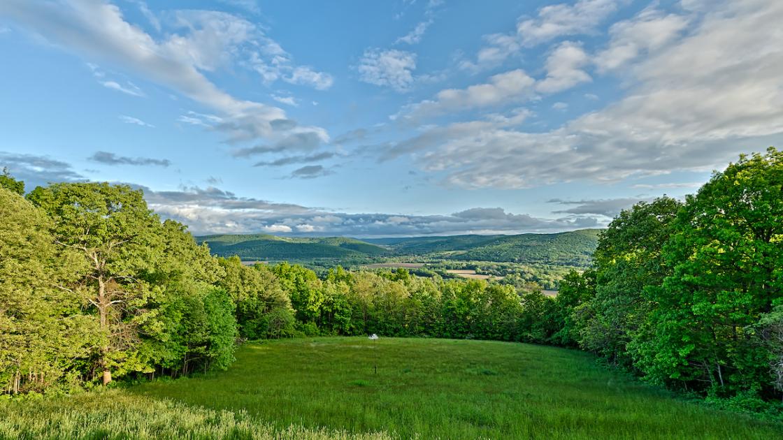
This observation deck allows you to enjoy spectacular views of the Chemung River Valley, where Major General John Sullivan led his expedition against Haudenosaunee villages during the Revolutionary War. Gazing out to the east toward Pennsylvania, you can see the route his forces took from Fort Sullivan, about 10 miles away, to this site, where the Battle of Newtown occurred on August 29, 1779. Here, you can envision how Continental troops attacked the breastworks below in their victory over the Loyalists and their Haudenosaunee allies. During the battle, this hilltop was primarily occupied by Native troops, while most of the Loyalists were stationed inside the breastworks.
At this stop on your battlefield tour, you might want to reflect on all those who lost their lives here and on the tragic destruction of the Haudenosaunee homeland that followed. The fields before you were once planted with corn that provided the Haudenosaunee with abundant harvests. Their villages along the Chemung prospered until they were burned by the Continentals.
At this park you can learn about American history and appreciate natural history as well. The beauty of this region was shaped millions of years ago by glaciers, rivers of ice that dug deep troughs in the landscape. When the glaciers receded, these troughs filled with water, becoming the sparkling Finger Lakes, an hour’s drive north of here, and the Chemung River. This area is now covered with mature pines, oaks, and maples, and is home to an array of wildlife, including white-tailed deer, wild turkey, bobcat, and bear. Birders love to walk the grounds of the battlefield park. Here they can glimpse striking indigo buntings, scarlet tanagers, and eagles.
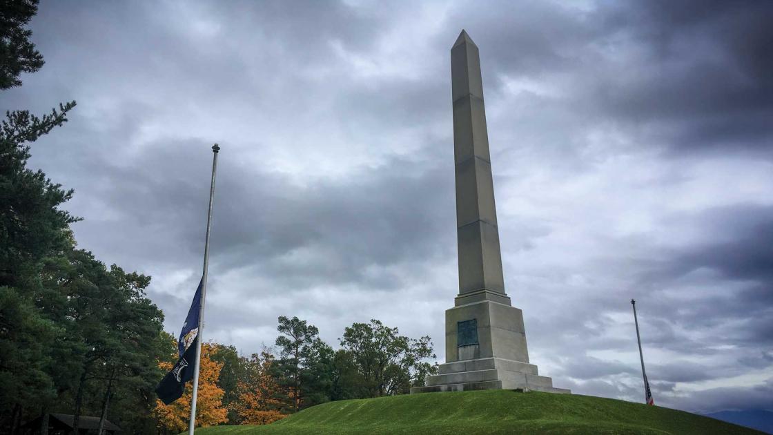
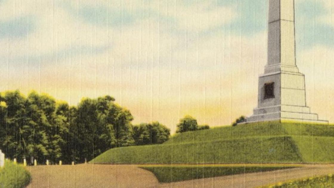
When the original Newtown Battle Monument was erected here on the one hundredth anniversary of the battle in 1879, it commemorated the ground on which the famous engagement was fought and the Patriot victory. Today, however, historians acknowledge the larger significance of the engagement and Major General John Sullivan’s impact on this region. His expedition not only displaced thousands of Haudenosaunee, who fled westward to the Niagara region, but also led to the forceful seizure of millions of acres of Native land by the new United States.
Just years after the 40-foot fieldstone tower was dedicated, it fell into disrepair, sustained a dynamite blast by vandals, and crumbled. It eventually collapsed during a storm in 1911. The 81-foot high, white granite obelisk you see here now was installed in 1912 by New York State and is often called Sullivan’s Monument. It marks the hill where the Patriots executed their flanking movement. The inscription does not consider the Haudenosaunee perspective. It reads:
Near this site
Sunday August 29, 1779 was fought
The Battle of Newtown
between
Continental troops commanded by
Major General John Sullivan
and combined force of
Tories and Indians under
Colonel John Butler
and
Joseph Brant
avenging the massacres of
Wyoming and Cherry Valley
destroying the Iroquois Confederacy
ending attacks on our settlements
and thereby opening
westward the pathway of civilization.
The Sullivan Expedition did not end Native attacks on White settlements, nor did it destroy the Haudenosaunee conspiracy.
At the park today there are no structures associated with the Battle of Newtown. The cabins behind you were built during the 1930s by the Civilian Conservation Corps (CCC), a federal program designed to employ men during the Great Depression. The 180 men of the CCC who arrived at Newtown in 1935 were African American, but their commanders were white. This was typical of all CCC segregated units. Then, in 1937, African American officers replaced the white officers at the park. Only Newtown and Gettysburg Battlefield Park had Black officers commanding Black units during the CCC program.
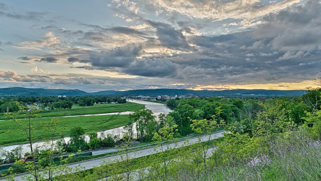
The earliest Native American villages in this area dated to 800 A.D. Before white colonists arrived in the late 1700s, the Haudenosaunee village of Newtown sat where Newtown Creek empties into the Chemung River. Had you looked over this valley toward today’s city of Elmira, New York before the Battle of Newtown in 1779, you would have seen an orderly arrangement of 20 to 25 dwellings with glass windows, doors, and shingled roofs, glimpsed some of the estimated 250 residents, and viewed acres of fertile fields.
The Native dwellings behind you were built by the Chemung Living History Center in the 1990s. This replica village, while recognizing the Haudenosaunee who lived on this land, does not accurately represent the houses that would have stood near this site during the American Revolution.
Some Unami and Munsee people—now collectively called the Delawares—also lived in Newtown. They originally came from today’s states of New Jersey, Pennsylvania, New York, and Delaware. When Europeans looked to settle on the frontier, they pressured the Delaware to cede their territory. Before the American Revolution, the majority of displaced Munsee and Unami joined several villages along the Susquehanna, Allegheny, and Ohio rivers. Some of the refugee groups later moved to Haudenosaunee villages like Newtown, where they were permitted to maintain their own government and traditions.
When these diverse people were uprooted by the Sullivan Campaign, white settlers claimed their land. They founded the village of Newtown, which was officially incorporated in 1815 and changed its name to Elmira in 1828.
Visit These Related Sites Nearby
Knoll Cemetery. [give directions] Site of Revolutionary War-era graves. One headstone reads to “Our Foe, Red Men & British.” These remains of Loyalist and Native soldiers from the Battle of Newtown were relocated from a mass grave on the battlefield to this site in about 1890.
Chemung Historical Society and Chemung Valley History Museum, 415 E. Water St, Elmira, NY
These stops to the east of the battlefield are related to the Sullivan Expedition. Major General John Sullivan marched to Newtown from Fort Sullivan. After winning the Battle of Newtown and razing Haudenosaunee towns, Sullivan retraced his route.
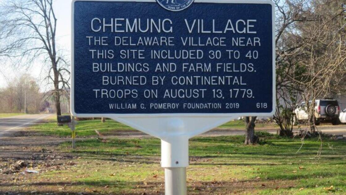
The Battle of Chemung was part of the Sullivan-Clinton Expedition. The village of Old Chemung, which stood near here, served as a base for Loyalists, Delaware Munsee Indians, and other Native Americans allied with the British. Warriors from the Susquehanna and Chemung towns joined the Senecas, Cayugas, and Onondagas in raiding the frontier settlements of New York and Pennsylvania. Old Chemung was also a stop for Loyalist refugees from New York City and Philadelphia, who were fleeing to Canada.
As General George Washington planned military operations against the Haudenosaunee and their allies in late 1778 and early 1779, he targeted towns in the upper Susquehanna and Chemung River Valleys. The Susquehanna-Chemung communities were important because of their strategic location, plentiful food, and significant population. By all accounts, Old Chemung was a pleasing place. Officers' journals describe a community of 30 to 40 houses and remark on the "beautiful" situation of the town and the fertile, level ground. They note "large fields of corn, beans, squashes, potatoes and pumpkins in abundance."
On August 13, 1779, Sullivan launched a dawn attack against Old Chemung with fixed bayonets and loaded muskets. But he confronted an empty town. Two or three Indians were seen running off as the troops arrived, but most inhabitants had left several hours before. Sullivan later described the event in a letter to the President of Congress: “Finding it impossible, to bring them to an engagement I directed their Town to be burnt….” He added, “I also caus’d their Field of Corn which were of a considerable extent, and all their Gardens which replete with Herbage to be destroy’d. . ..”
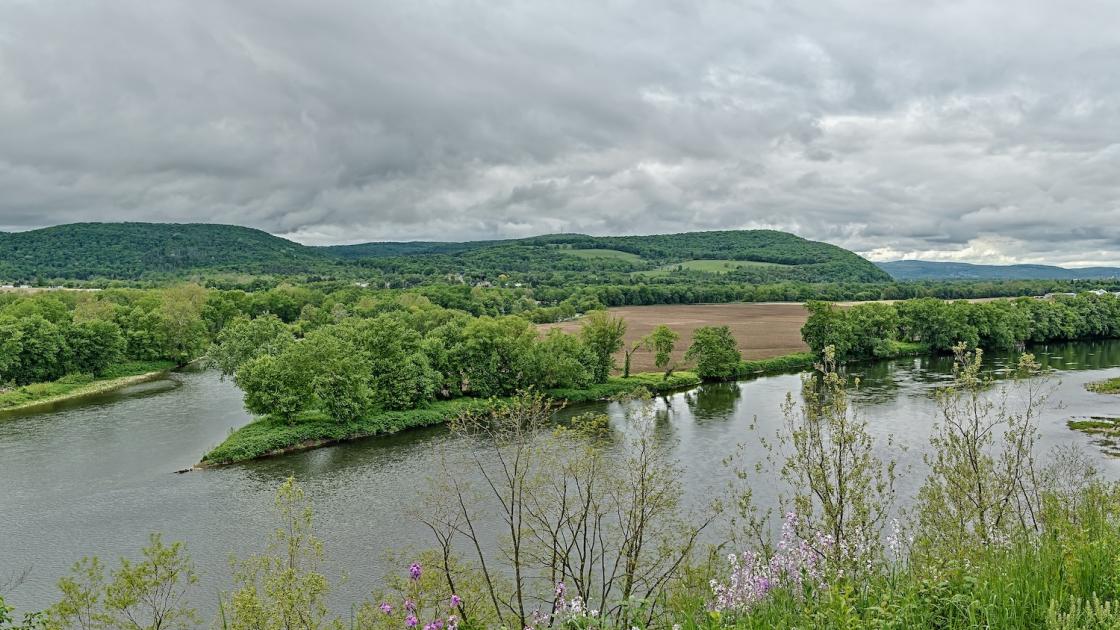
Fort Sullivan, established here in August 1779, served as the base of operations for the Sullivan Expedition, a military campaign designed to destroy the Haudenosaunee nations in Western New York during the Revolutionary War. The expedition was ordered by Patriot Commander-in-Chief George Washington in response to British-backed Haudenosaunee raids on white frontier settlements.
Washington directed Major General John Sullivan to advance into the Haudenosaunee territory in the summer of 1779. Brigadier General James Clinton’s men would march from the Mohawk Valley in the east to join up with Sullivan’s force coming up from Easton, Pennsylvania. On August 11, Sullivan’s force reached Tioga, formerly Queen Ester’s Town, where the Chemung River meets the Susquehanna River, between the today’s towns of Milan and West Athens, in Bradford County, Pennsylvania. The troops began constructing a post, which they named Fort Sullivan.
While waiting for Clinton to arrive, Sullivan sent a force to the nearby Indian village of Chemung, which he destroyed after a brisk fight. On August 22, Clinton finally reached Tioga. Now combined, the armies represented a third of Washington’s Continental Army and were ready to take on the Loyalist and Indian threat. Four days later, the Patriots departed Fort Sullivan with 3,200 troops, 1,000 horses, and 10 artillery pieces, heading west up the Chemung River. On August 29, they engaged their enemies in the Battle of Newtown.