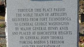

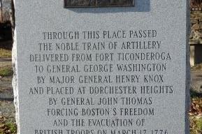
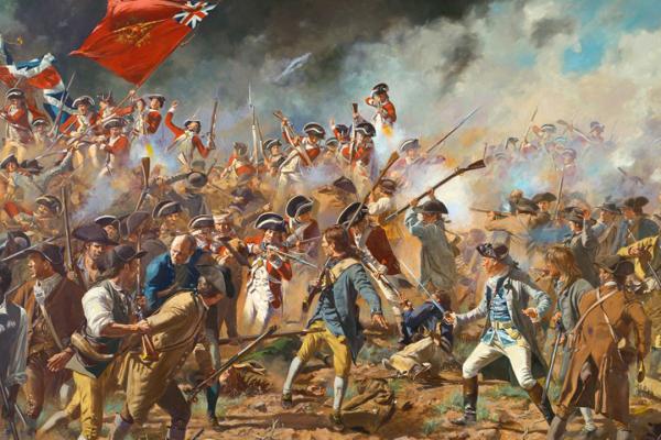
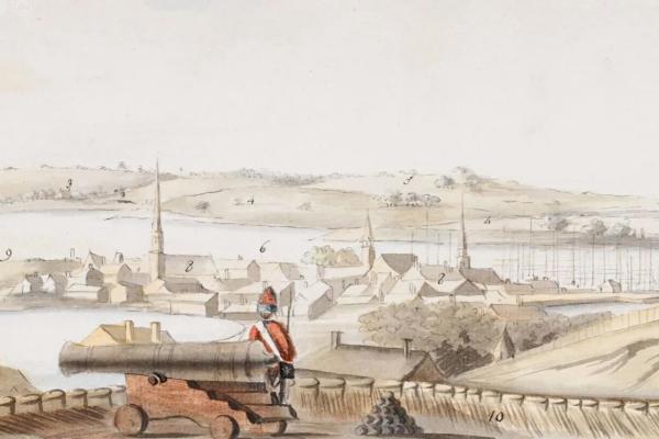
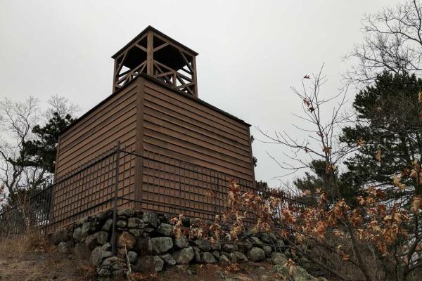
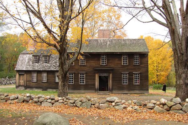
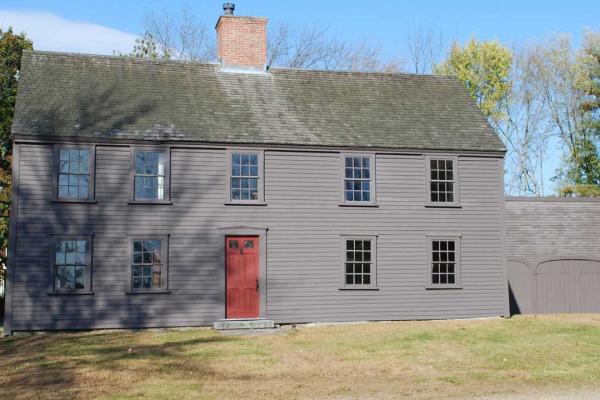
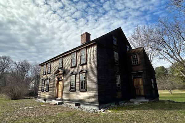
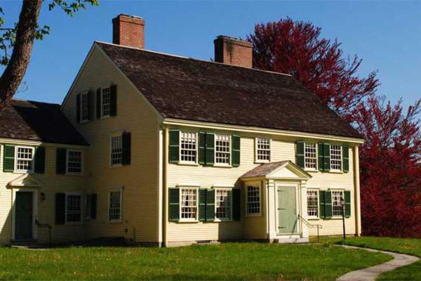
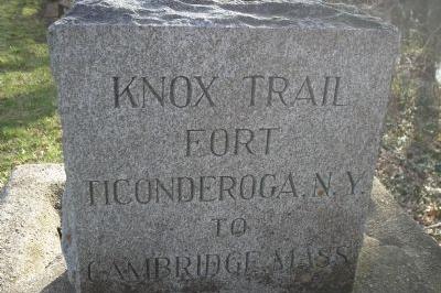
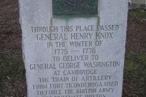
The Henry Knox Trail, also known as the Knox Cannon Trail, is a network of roads and paths that traces the route of Colonel Henry Knox's "noble train of artillery" from Crown Point, New York, to the Continental Army camp outside Boston, Massachusetts, in the American Revolutionary War. George Washington commanded Henry Knox in 1775 to transport 59 cannons (weighing over 60 tons) from captured forts on Lake Champlain, 30 from Fort Ticonderoga, and 29 from Crown Point to the army camp outside Boston to aid the war effort against British forces. They included forty-three heavy brass and iron cannons, six coehorns, eight mortars, and two howitzers.
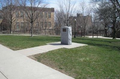
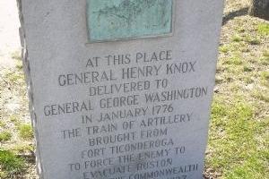
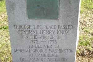
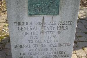
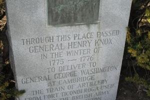
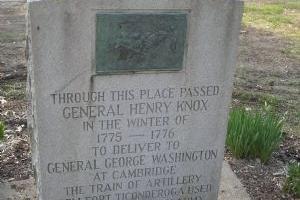
This marker is located on the site of the headquarters of General John Thomas near Dorchester Heights. With the Continentals having a command view overlooking Boston Harbor, the British evacuated Boston on March 17, 1776. The marker features a bronze bas-relief depiction of Knox’s men leading the sledge-pulling oxen.
Learn about Revolutionary War Combat Strategy. Watch the Revolutionary War Animated Map.
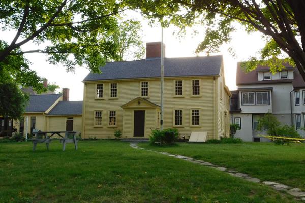
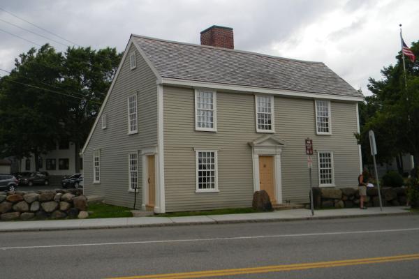
What's Nearby
Explore more of The Liberty Trail by visiting these nearby attractions.
Roxbury, MA 02119

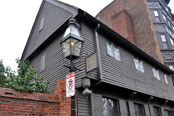
Boston, MA 02127


Cambridge, MA 02138
Watertown, MA 02472
Waltham, MA 02453


Weston, MA 02493

Lincoln, MA 01773
Way, MA 01778
Concord, MA 01742
Wayland, MA 01778


Framingham, MA 01702