Historic Site | Battlefield

Henry Knox Trail Marker at Wayland, MA (MA-23)

Way, MA

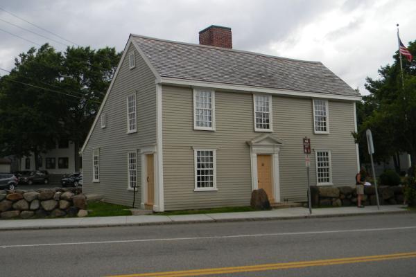
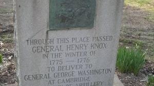
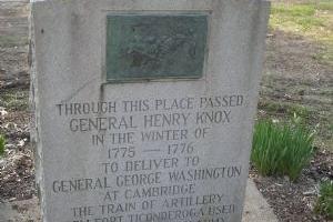
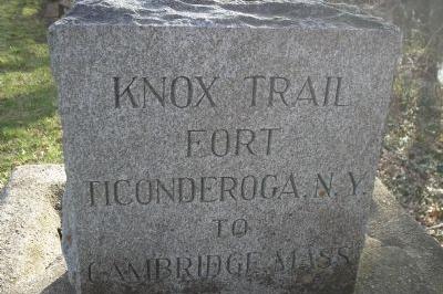
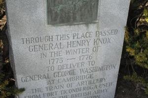
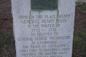
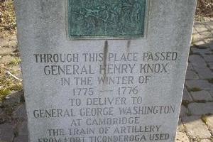
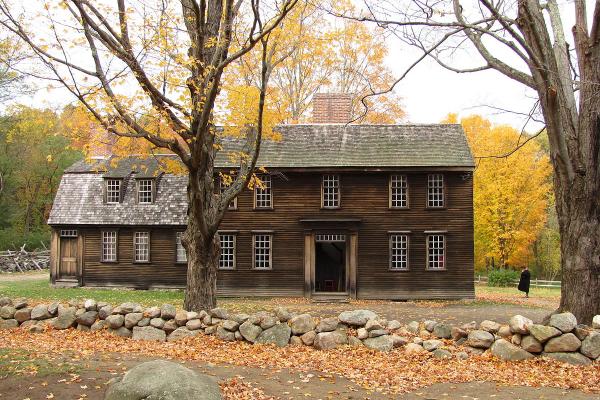
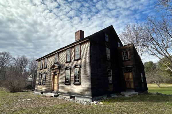
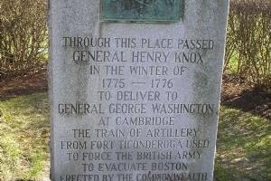
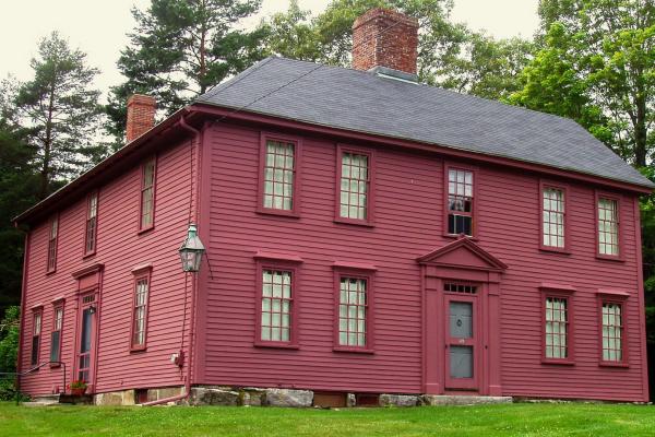
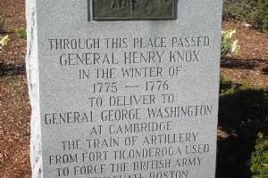
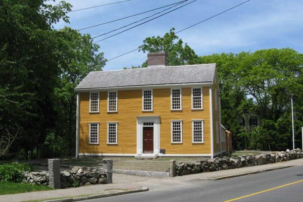
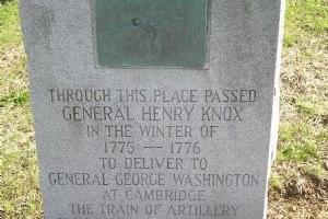
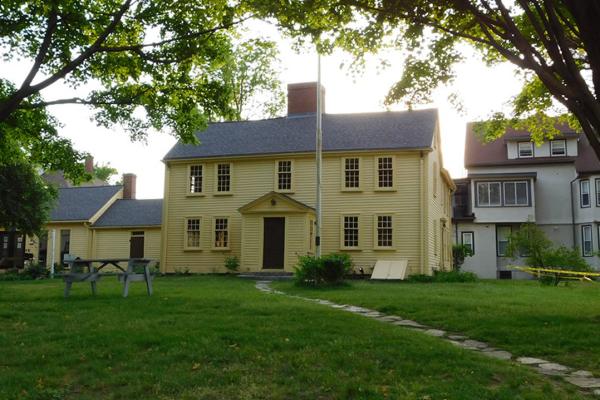
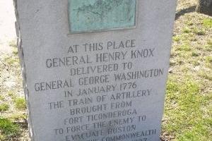
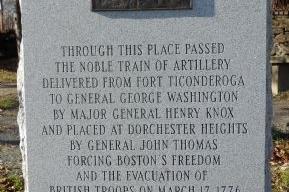
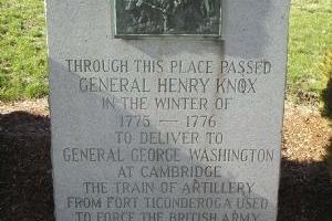
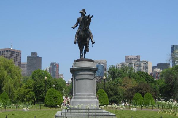
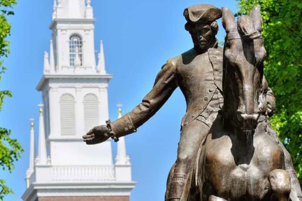
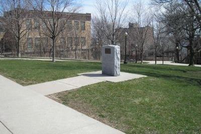
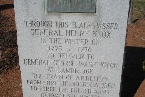
The Henry Knox Trail, also known as the Knox Cannon Trail, is a network of roads and paths that traces the route of Colonel Henry Knox's "noble train of artillery" from Crown Point, New York, to the Continental Army camp outside Boston, Massachusetts, in the American Revolutionary War. George Washington commanded Henry Knox in 1775 to transport 59 cannons (weighing over 60 tons) from captured forts on Lake Champlain, 30 from Fort Ticonderoga, and 29 from Crown Point to the army camp outside Boston to aid the war effort against British forces. They included forty-three heavy brass and iron cannons, six coehorns, eight mortars, and two howitzers.

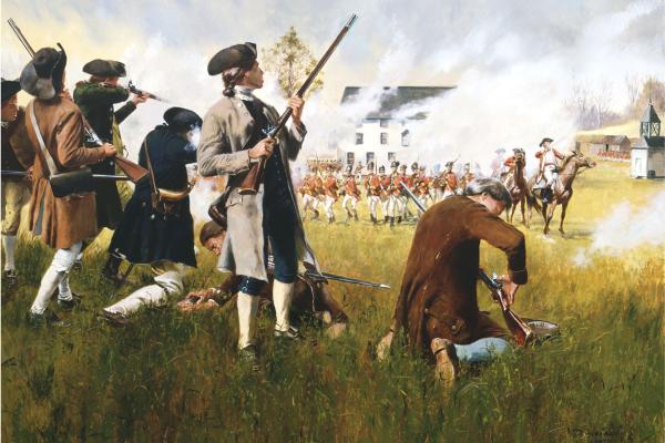
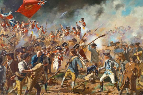
Learn about Revolutionary War Combat Strategy. Watch the Revolutionary War Animated Map.

What's Nearby

Explore more of The Liberty Trail by visiting these nearby attractions.

4.407538713255
8.8812900721661
11.75216189566
12.508541822225
12.75186740776
15.458196349843
Exterior of Meriams Corner

Concord, MA 01742

Site of a militia ambush during Lexington & Concord

15.931115715627

Lincoln, MA 01773

Paul Revere's Midnight Ride capture site

16.190006884045
16.276051162764
The North Bridge at Minuteman National Park

Concord, MA 01742

Site of the first shots at Lexington & Concord

16.394316171694
16.579301674126
16.59316737215
17.776421441901
18.839512348299
19.033381805043
19.107147691189
19.131931675674
Munroe Tavern in Lexington, Massachusetts

Lexington, MA 02420

Percy's HQ prior to Lexington & Concord

19.19086392929

Lexington, MA 02420

Paul Revere warns Hancock & Adams to flee

19.457476649219
20.565141407707
Exterior of the Jason Russell House

Arlington, MA 02476

Some of the bloodiest fighting of Lexington & Concord

21.420946263209
21.953045106354
22.705362870743
24.834670747706
Equestrian statue of George Washington on the Boston Common

Boston, MA 02111

British assemble to march on Lexington & Concord

26.864425028707
26.94780631789
American soldiers overlook Boston from Dorchester Heights

Boston, MA 02127

Colonists besiege the British garrison in Boston

26.989971545954
27.320980732568
The Old State House in Boston, Massachusetts

Boston, MA 02109

Site of the Boston massacre

27.418958005264
Battle of Bunker Hill depicted by Don Troiani

Charlestown, MA 02129

Militia are narrowly defeated by British forces

27.512236036227
Faneuil Hall Square in Boston

Boston, MA 02109

Epicenter of Boston political life

27.572538678146
Old North Church in Boston, Massachusetts

Boston, MA 02113

One if by land, two if by sea

27.800617522742
Home of Paul Revere

Boston, MA 02113

Home of Paul and Rachel Revere

27.861409555262
28.13703878861
31.658636788086