Historic Site | Marker

Equality Park

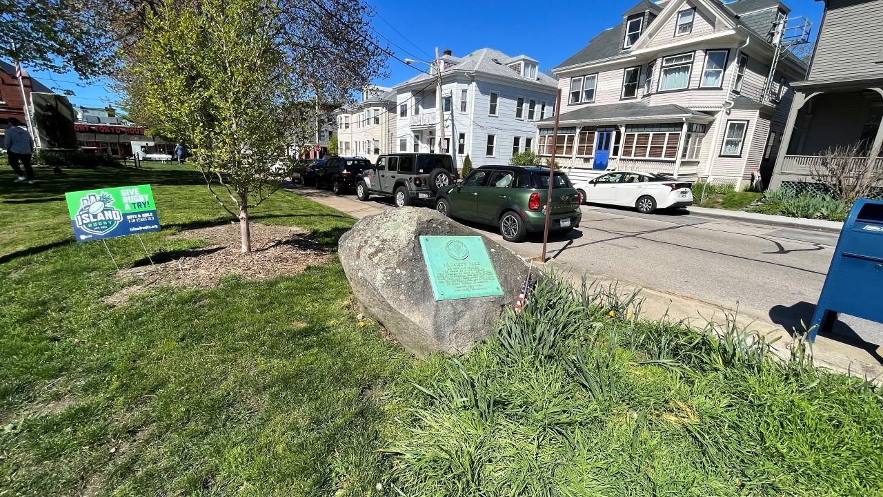
Marker denoting the destruction of the HMS Liberty by colonists in 1769.

  • Parking
  • Accessible Parking
  • Pet Friendly
Share
Newport, RI

Liberty Park in Newport, Rhode Island honors the destruction of the British customs vessel HMS Liberty on July 19, 1769. Newport citizens seized the Liberty after disputes over the illegal confiscation of goods. This event was one of the earliest acts of defiance against the Crown in the American colonies, occurring even before the Boston Tea Party.

What's Nearby

Explore more of The Liberty Trail by visiting these nearby attractions.
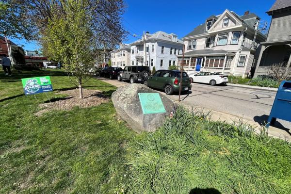
A large boulder with a bronze plaque attached commemorating the burning of British ships.

RI 02840

Marker describing the destruction of the HMS Liberty

0
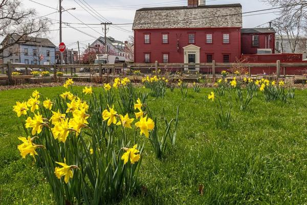
A grassy yard filled with blooming yellow daffodils stretches across the foreground. Behind the flowers stands a large historic red building with white trim, multiple windows, and a small columned portico at the main entrance.

RI 02840

Tavern that hosted British and Loyalist troops

0.52221783807115
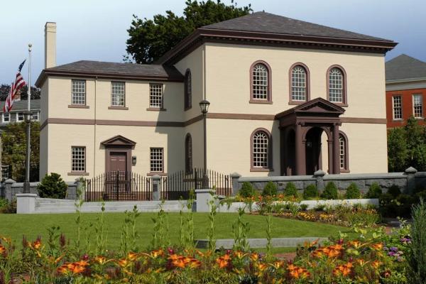
A beige building with brown trim and a columned portico stands behind a garden of bright flowers and neatly trimmed shrubs, bordered by a wrought‑iron fence and stone posts.

RI 02840

Only purpose-built synagogue to survive the Rev War

0.65903931395419
0.71246007023929
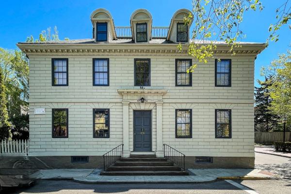
A light‑colored historic building with dark shutters and a central double‑door entrance sits on a corner lot, featuring three dormer windows on the roof and a short staircase leading up from the sidewalk.

RI 02840

1780 headquarters of the Comte de Rochambeau

0.76348853075466

RI 02840

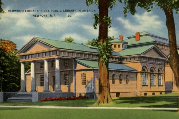
America's first purpose-built library

0.91306085810014
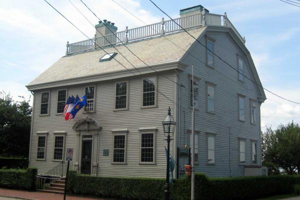
Front of the Hunter House in Rhode Island

RI 02840

Former HQ of the French fleet in North America

1.0002481308737
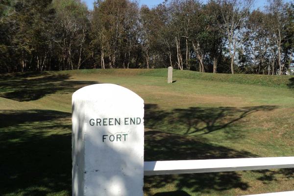
Stone marker denoting the location of Green End Fort

RI 02842

French defensive position in Rhode Island

1.6484885104468
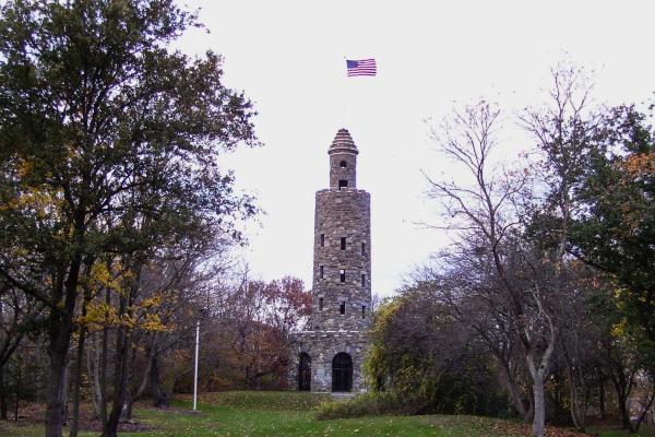
World War 1 Memorial Tower at Motonomi Memorial Park

RI 02840

Tactical position during the Battle of Rhode Island

1.9066392698041
2.6738720260629
6.6829956058253
6.9570010744124
11.611028945635
11.614808714759
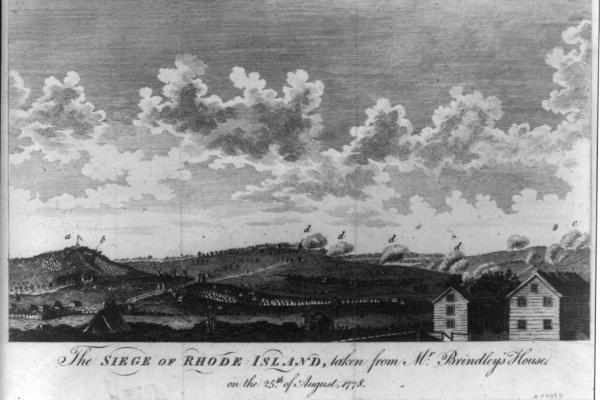
Print of the Battle of Rhode Island.

RI 02871

First Franco-American operation of the Revolution

11.735813087873
12.62304827558
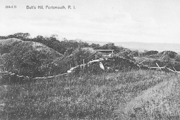
Early 20th century postcard depicting Butts Hill Fort in Rhode Island

RI 02871

Franco-American defensive position in Rhode Island

14.310404517027
Fort Barton in Tiverton, Rhode Island

02878

Fort named for Lt. Col. William Barton

16.793697097515
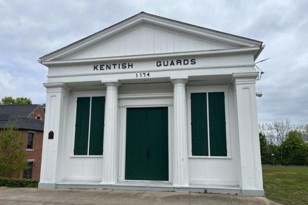
A small white historic building with four columns and green shutters stands at a roadside; the sign above the door reads “Kentish Guards 1774.”

RI 02818

Former armory and drill field of the Kentish Guard

21.944391996143
22.010321643571
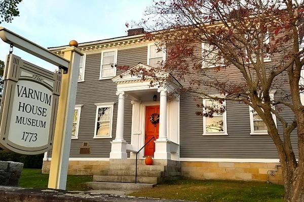
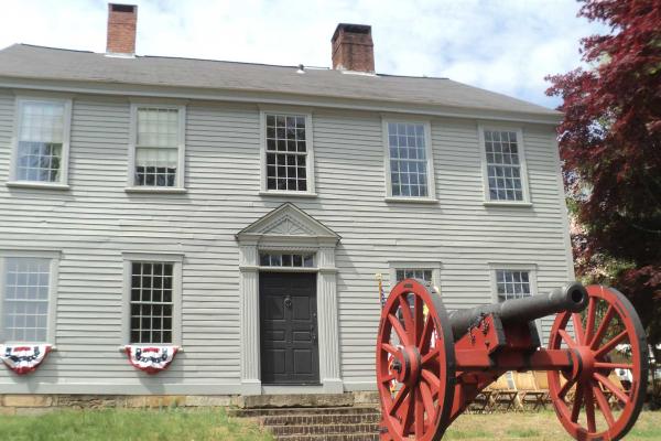
Colonial Home of General James Mitchell Varnum

RI 02818

Former home of General James Mitchell Varnum

22.074973818905
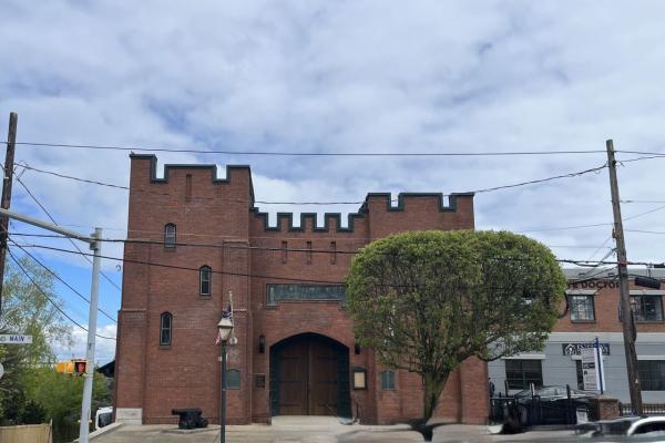
A small fortress like brick building sits on a street corner, with arched wooden doors, battlements, and a nearby cannon.

RI 02818

Museum with artifacts dating to the 16th century

22.17073709269
29.560879281935
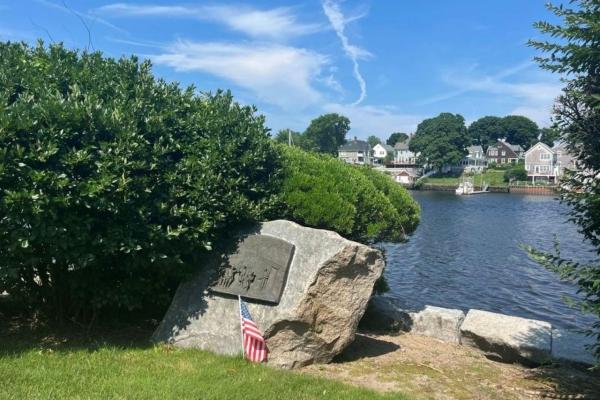
Bronze marker on boulder to commemorate spot of the burning of the Gaspee

RI 02888

Site of the capture of the British crew of the Gaspee

30.635118203477