-
The BlogBiographies
-
Videos

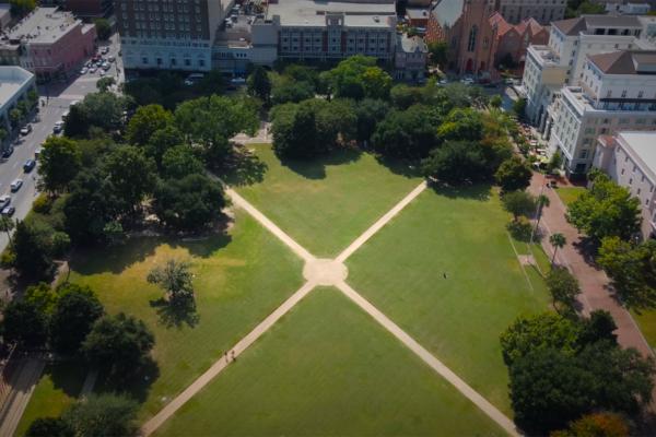
Marion Square, named in honor of Francis Marion, is greenspace in downtown Charleston, South Carolina and features remnants of The Hornwork, a large fortification built in 1758 that played a major role in the fight for independence.


For Charleston locals and frequent visitors, Marion Square is much more than just a pretty block of green space between Meeting Street and King Street. Like many of Charleston's attractions, beneath the surface lies a history of stories that date back to the colonial era, transforming this pretty park into a verified national landmark.
Today the space is best known for its seasonal farmer's market and gorgeous open vistas of some of the city's prestigious surrounding buildings. Still, the site has a legacy all its own, which continues to fascinate new visitors, and ensures this park's rightful place on the list of fascinating Charleston attractions.
Marion Square originated as a city-owned rectangular plot of land that was conveyed to the colony of South Carolina in 1758. Originally, this site was used as a defensive wall against the local Native Americans and later the British. Known as The Hornwork, this large fortification built in 1758 created an intimidating defensive line in the protection of Charleston and played a major role in the fight for independence. Constructed of tabby, a mixture of shells, sand and lime, the structure was a massive 30-foot tall fortification spanning three city blocks. The hornwork and its surrounding ditch or moat occupied a space measuring approximately six to eight acres. The tabby walls, which extended to the east and west of King Street, measured between six and seven hundred feet across. The elevation of the front (north) wall was between ten and twenty feet high. A remnant of the Hornwork remains visible in Marion Square today.
Explore more of The Liberty Trail by visiting these nearby attractions.
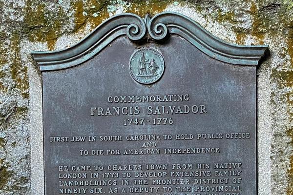
Charleston, SC 29403
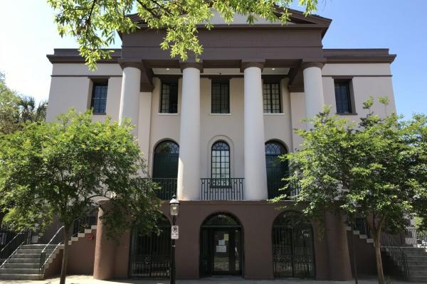
Charleston, SC 29401
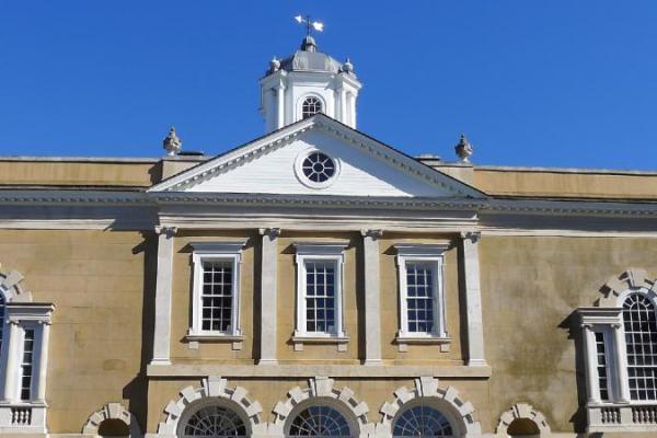
Charleston, SC 29401
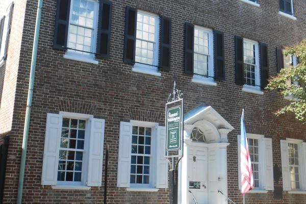
Charleston, SC 29401
Sullivan's Island, SC 29482
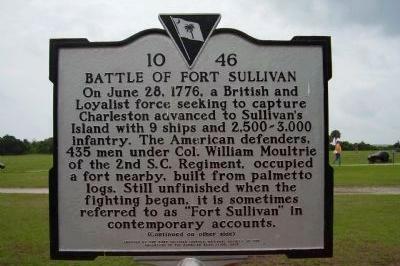
Sullivan's Island, SC 29482
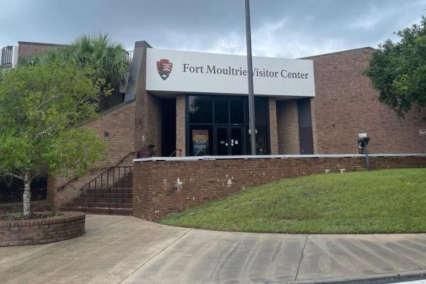
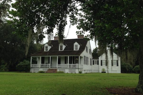
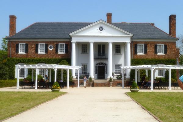
Mt Pleasant, SC 29464

Charleston, SC 29414
Charlestown, SC 29414
Summerville, SC 29485